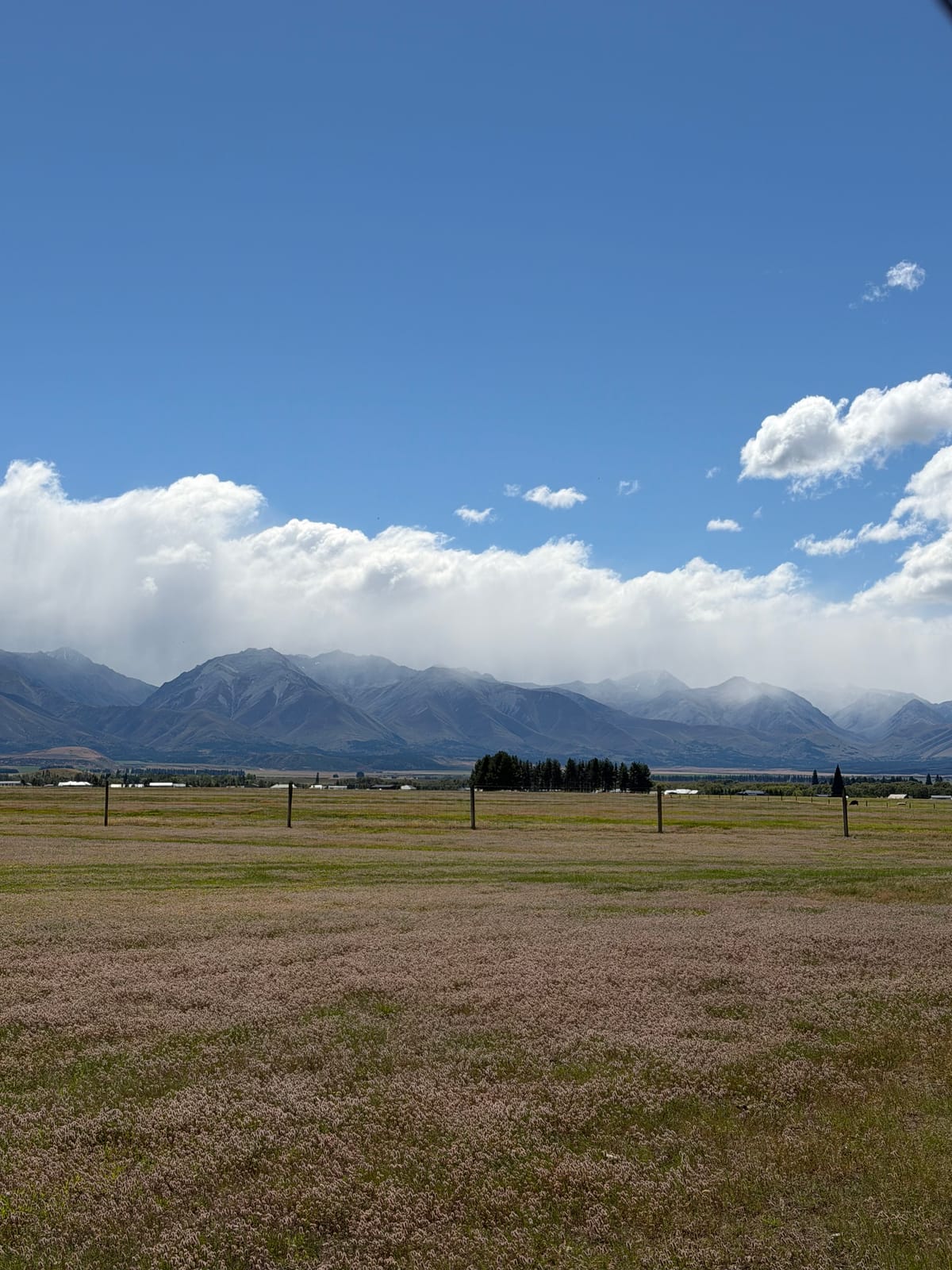
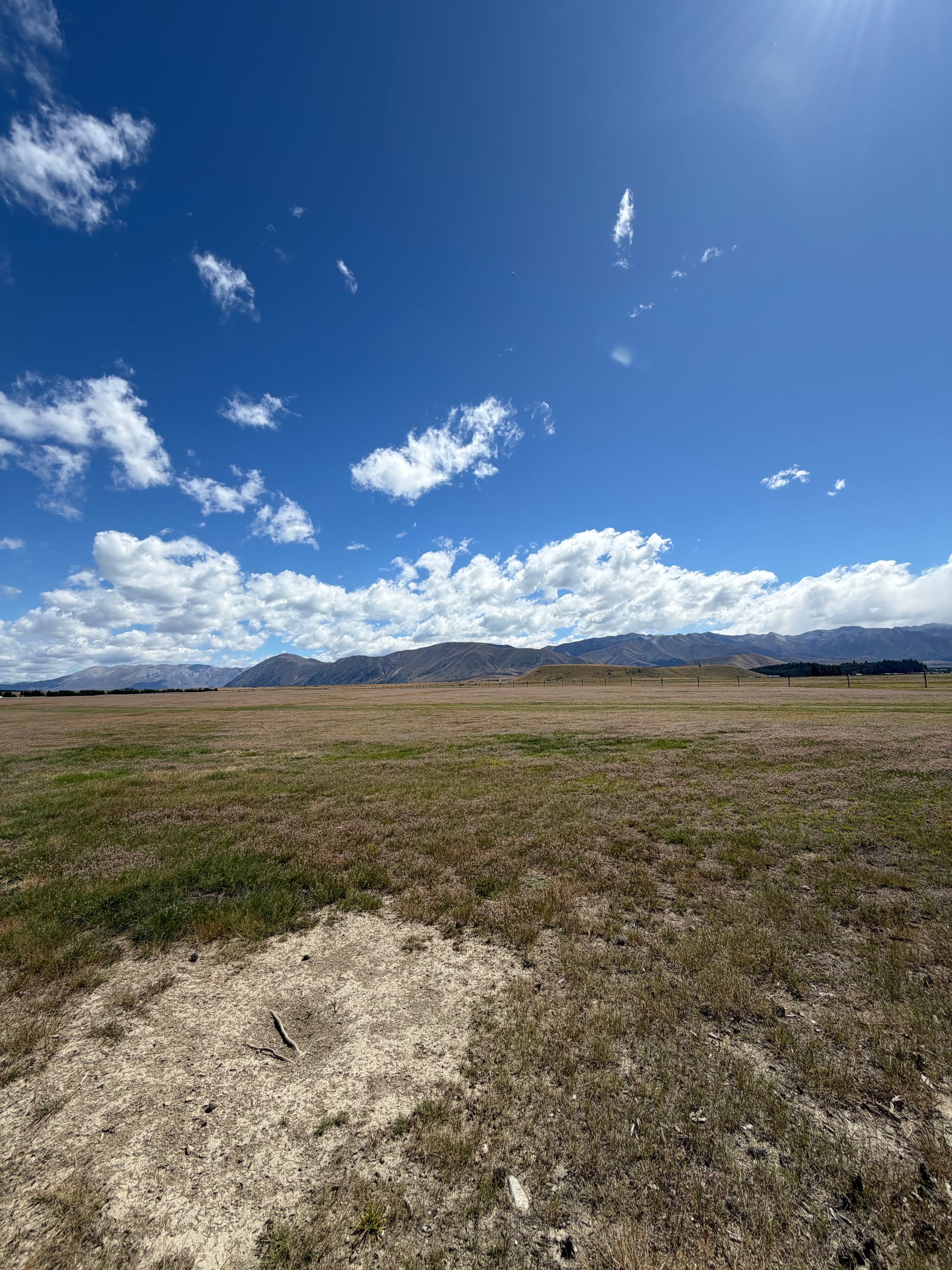
Twizel
Armed with information from Kate and Jono on places to stop, and where to find a good bakery, we headed up the east coast. First stop was Evansdale Cheese. We pulled in at the same time as another couple, who turned out to be from Winnipeg and are travelling in NZ for 5 weeks after recently retiring (is this a thing now?). Bought a few small bits of cheese including a small treat for Kate! Back on the road and we decided on an unexpected stop at the Moeraki Boulders on Koekohe Beach. Formed over 60 million years ago, they’re made from mudstone and calcite concretions and shaped by coastal erosion. The calcite has glued the mudstone together and they look like giant ancient shells.
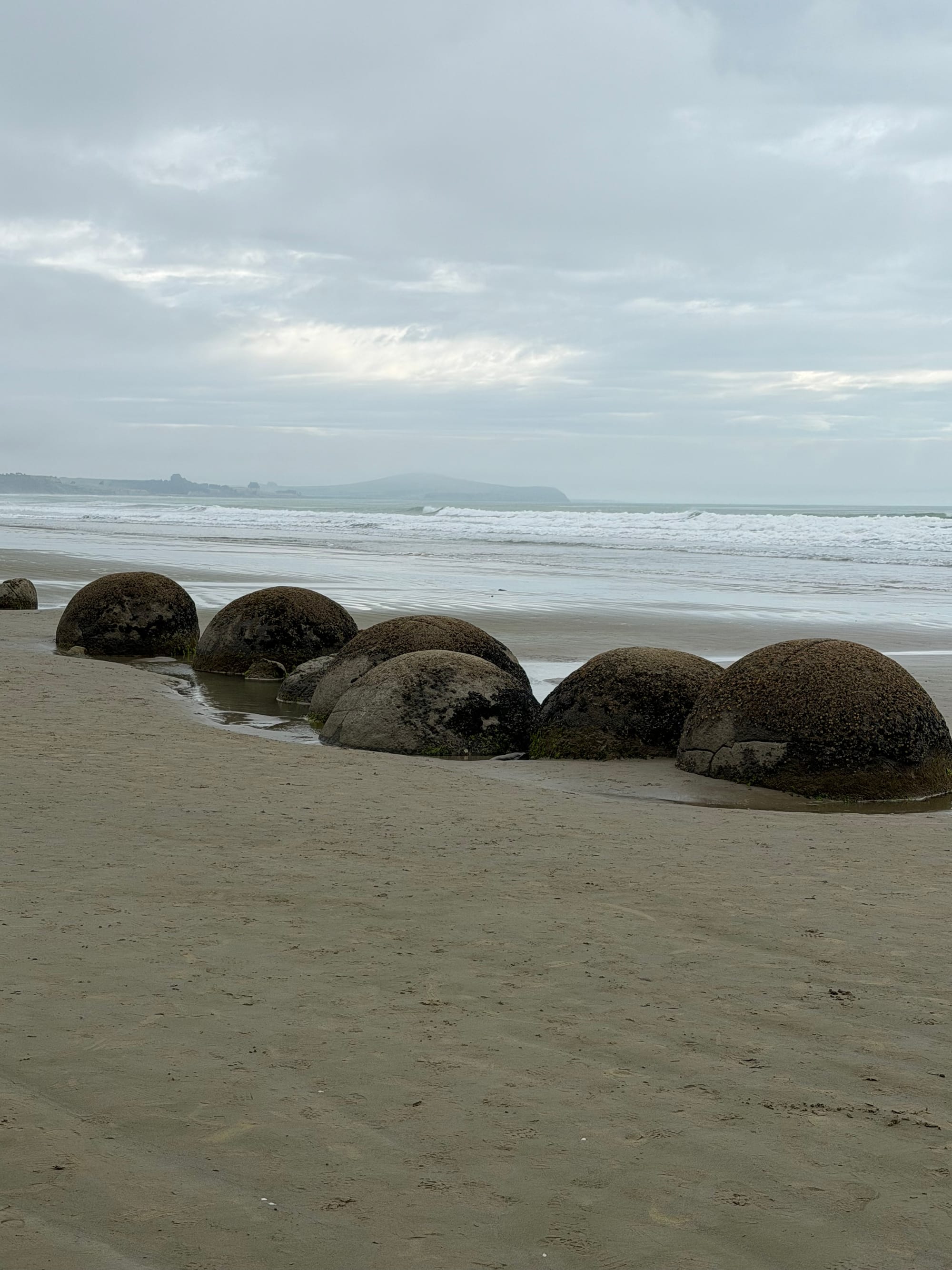
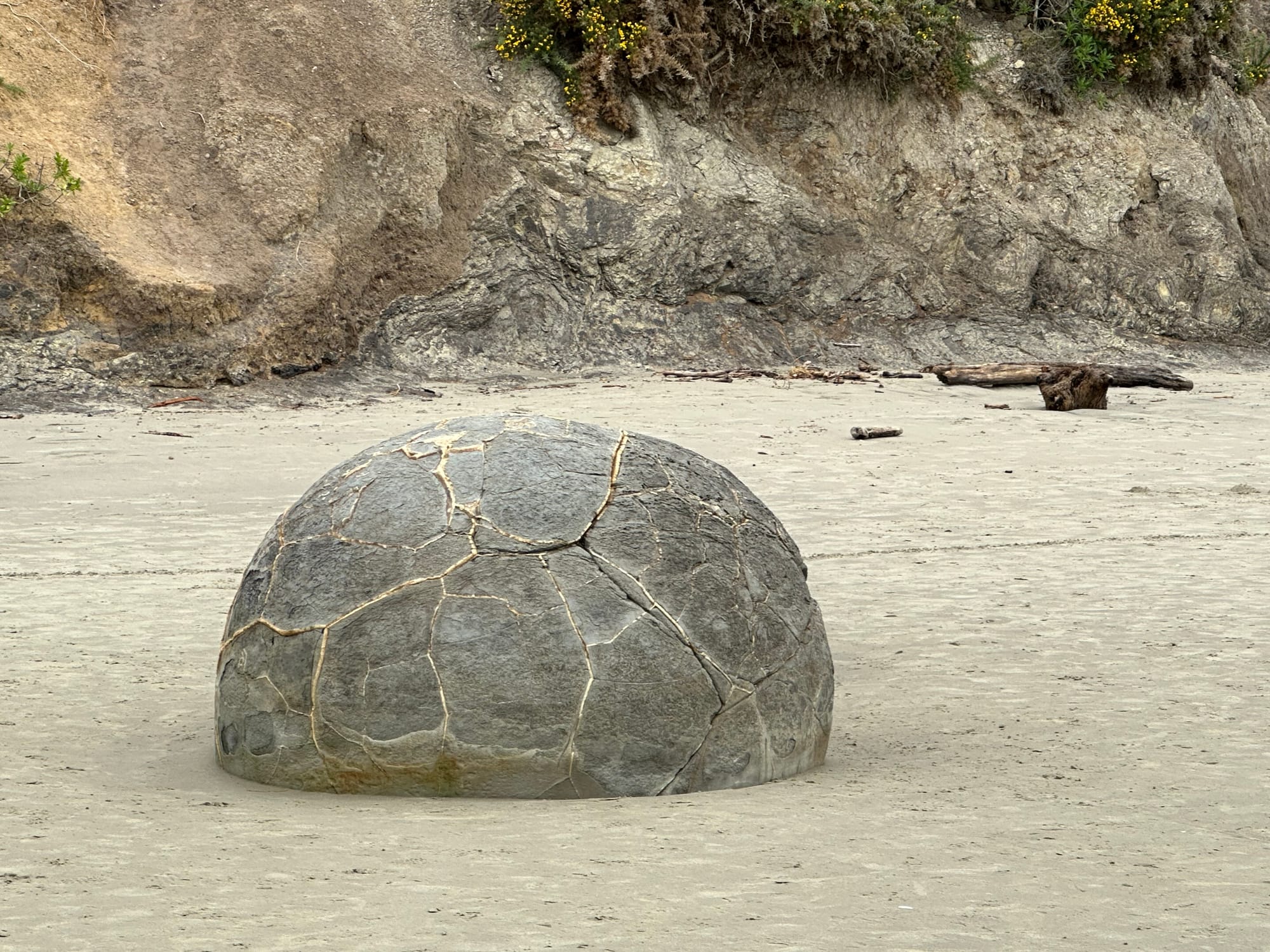
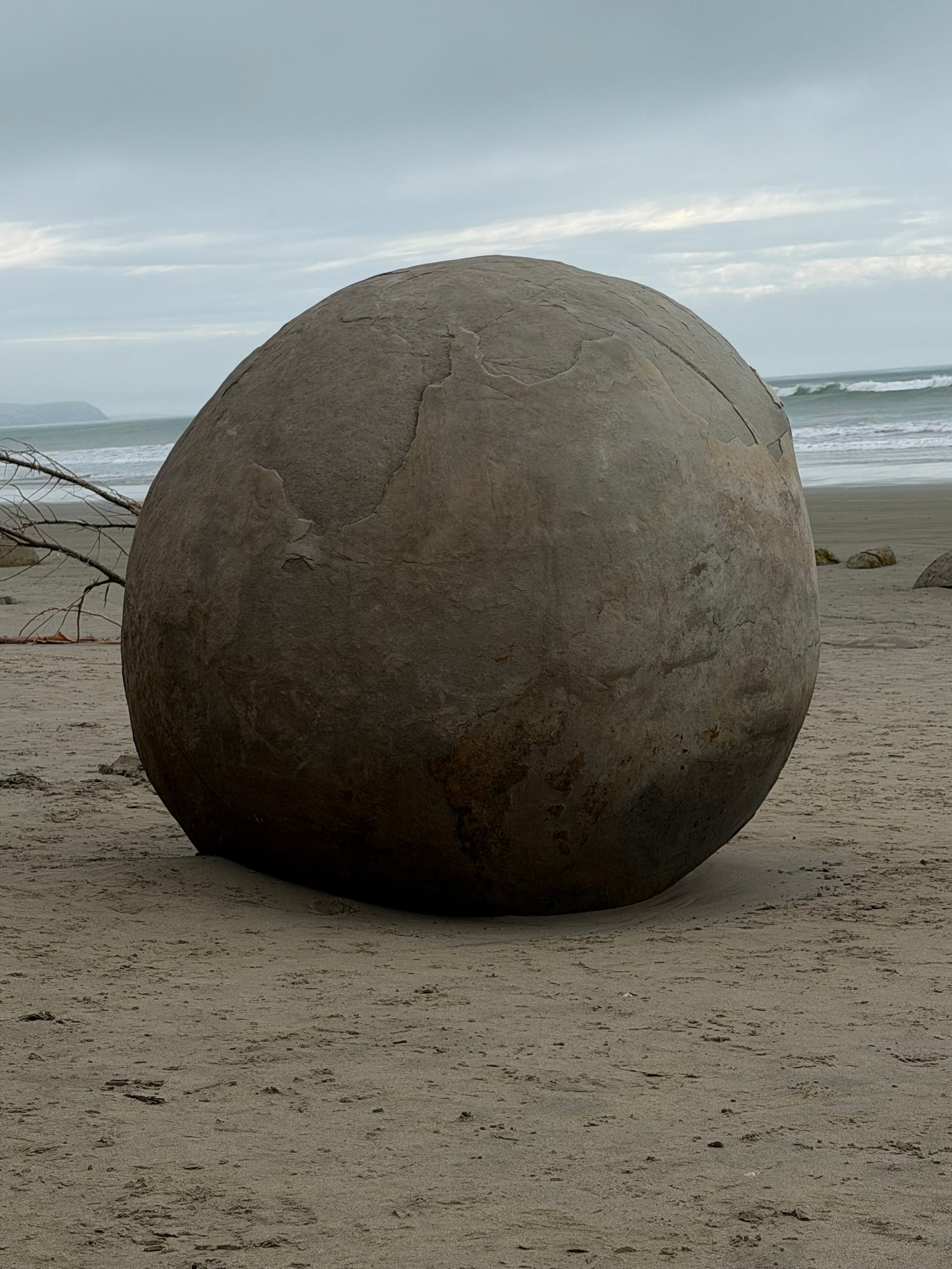
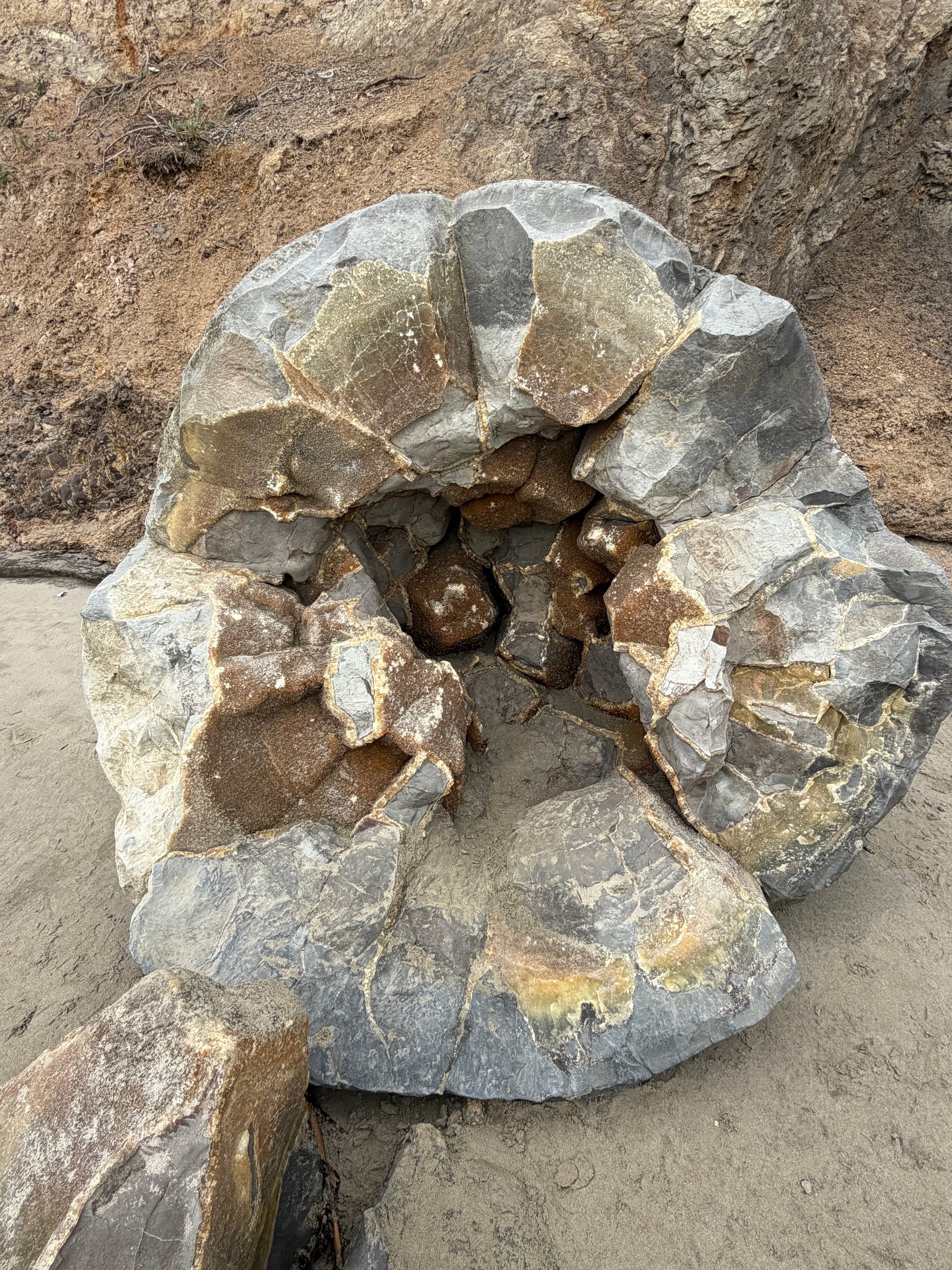
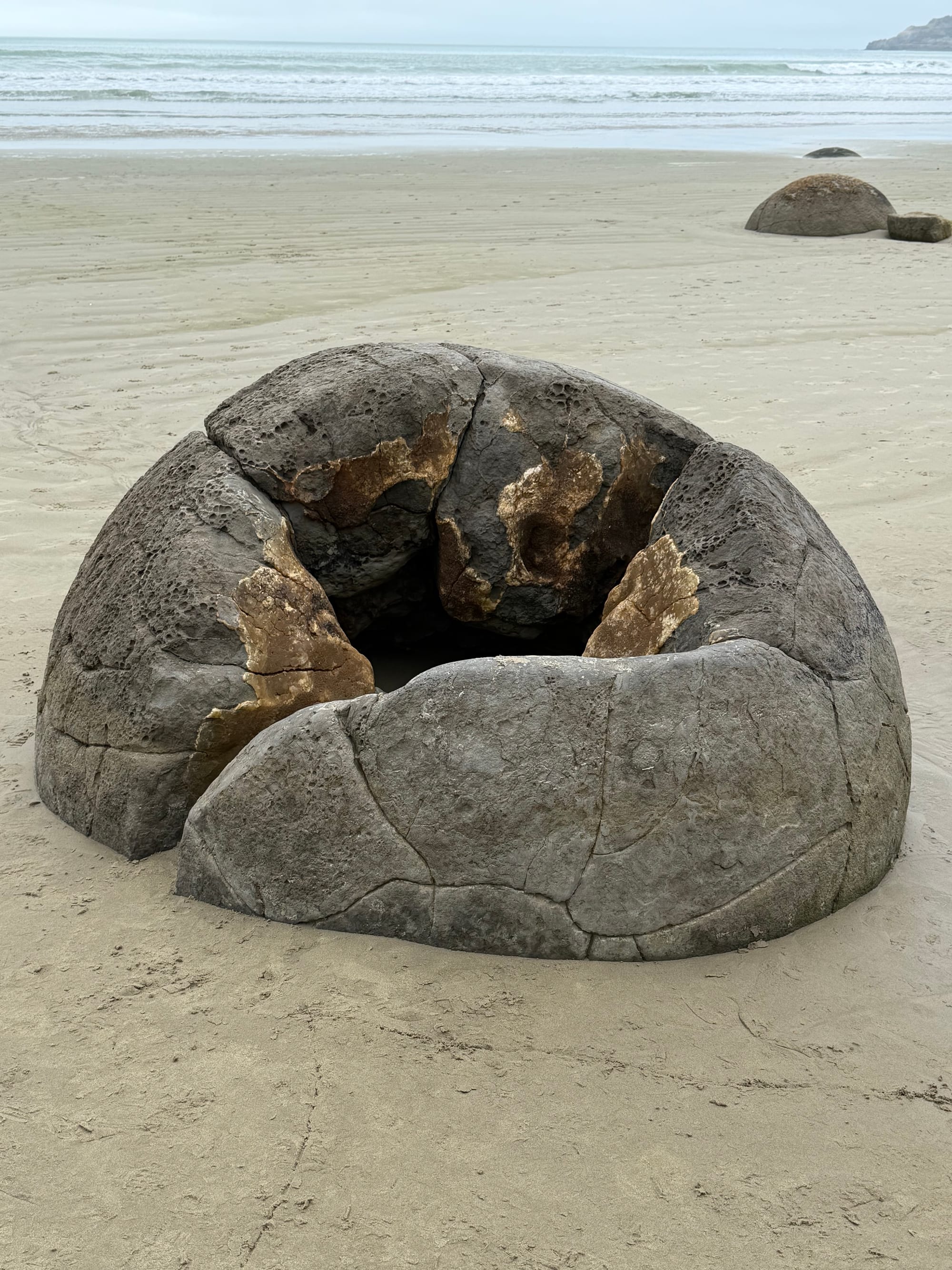
Moeraki Boulders
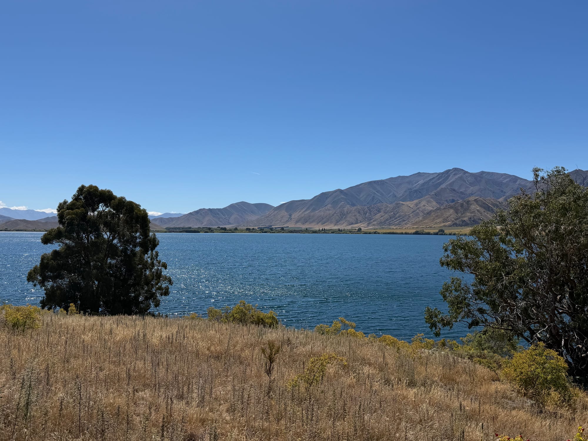
Next stop, Couplands Bakery in Oamaru. Quality baked good and great prices. A couple of sandwiches and a bag of Anzac biscuits, and we were on our way (BTW Tony B., your’s are better…). Going inland towards Twizel, you leave the coastal plains and head up into the high country. We’d done part of this drive before, passing by Lake Tekapo and Lake Pukaki, both stunning glacial lakes, expecially on a sunny day.
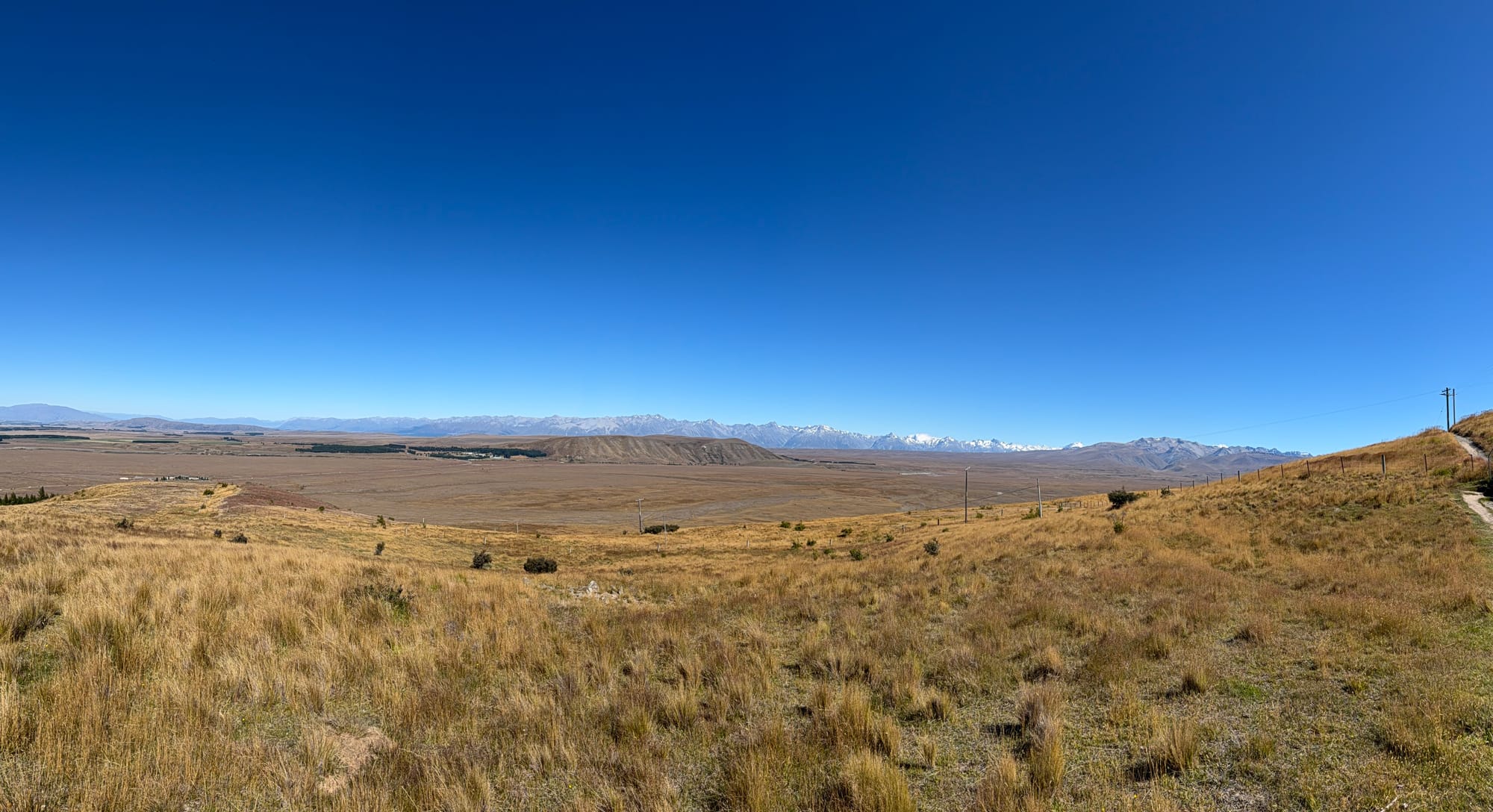
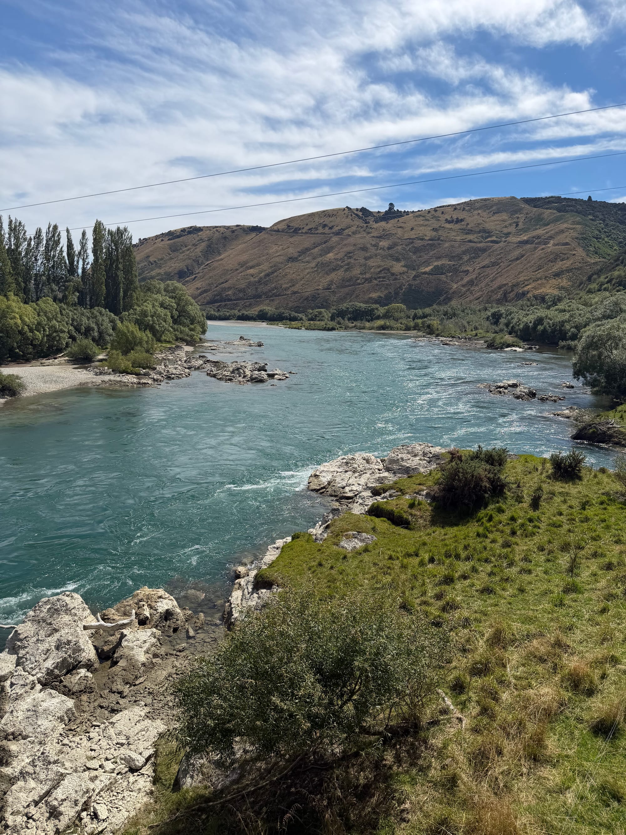
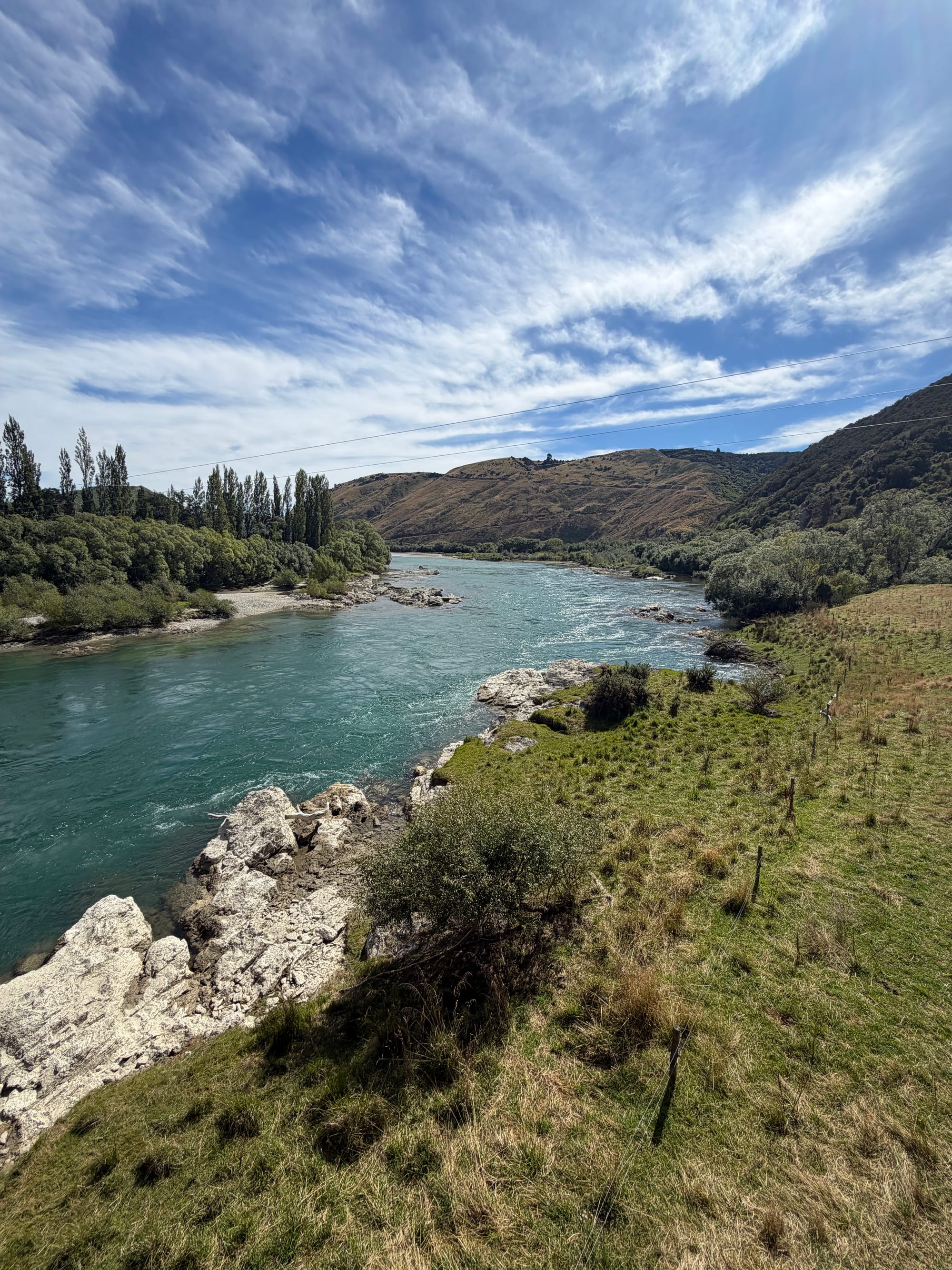
We had a few things planned to do while we were in Twizel. The first full day here, we took care of chores like food, etc., and then found the Twizel Walkway that takes you around the town. It‘s a beautiful flat walk, around 9 km in total that brings you along the river, through fields and then up to the top of the local hill with the cell phone tower to get a complete overview. Someone has built a miniature village in the trees, but you have to pay attention or you’ll walk right by it. Nice way to spend a day!
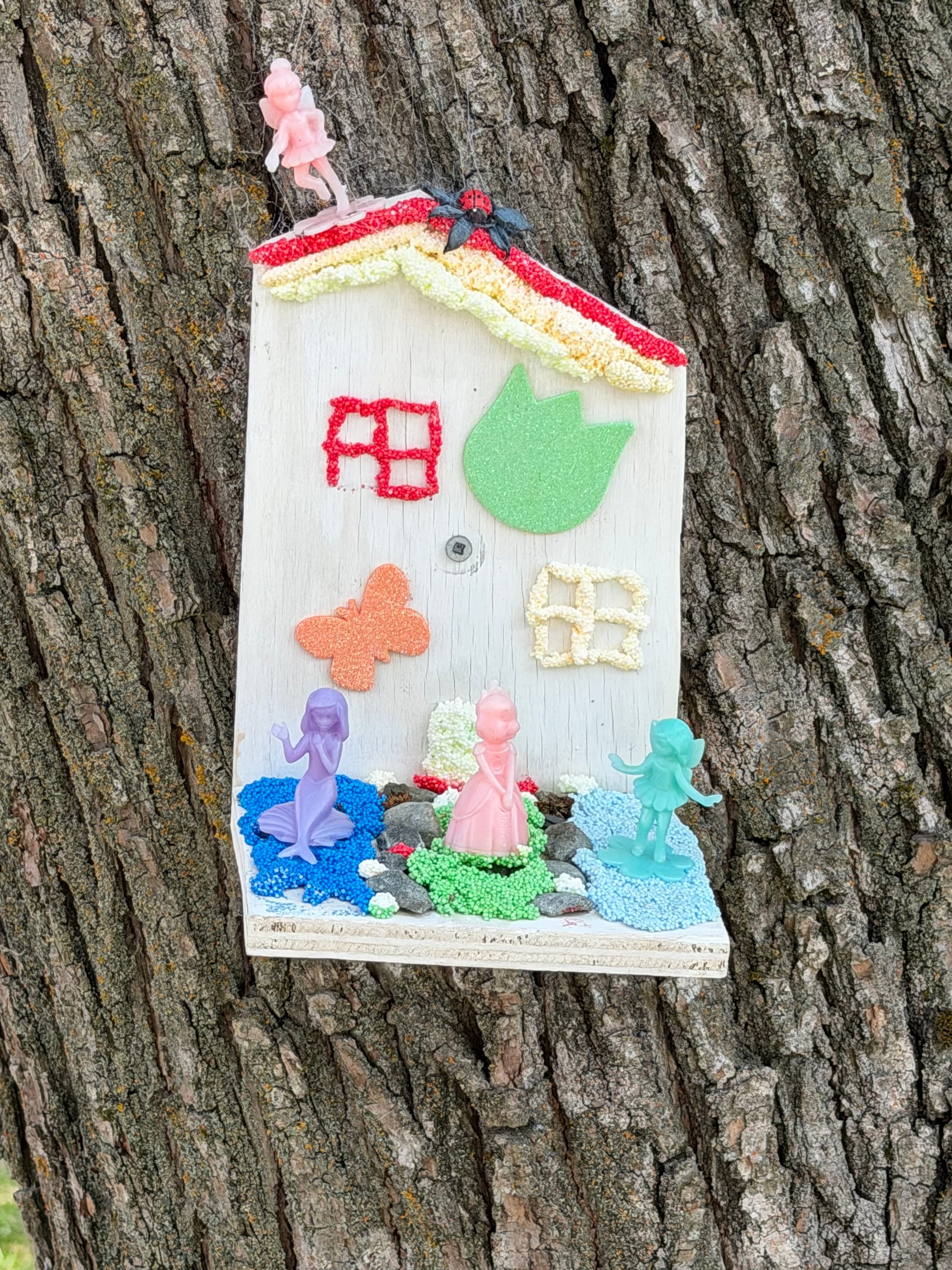
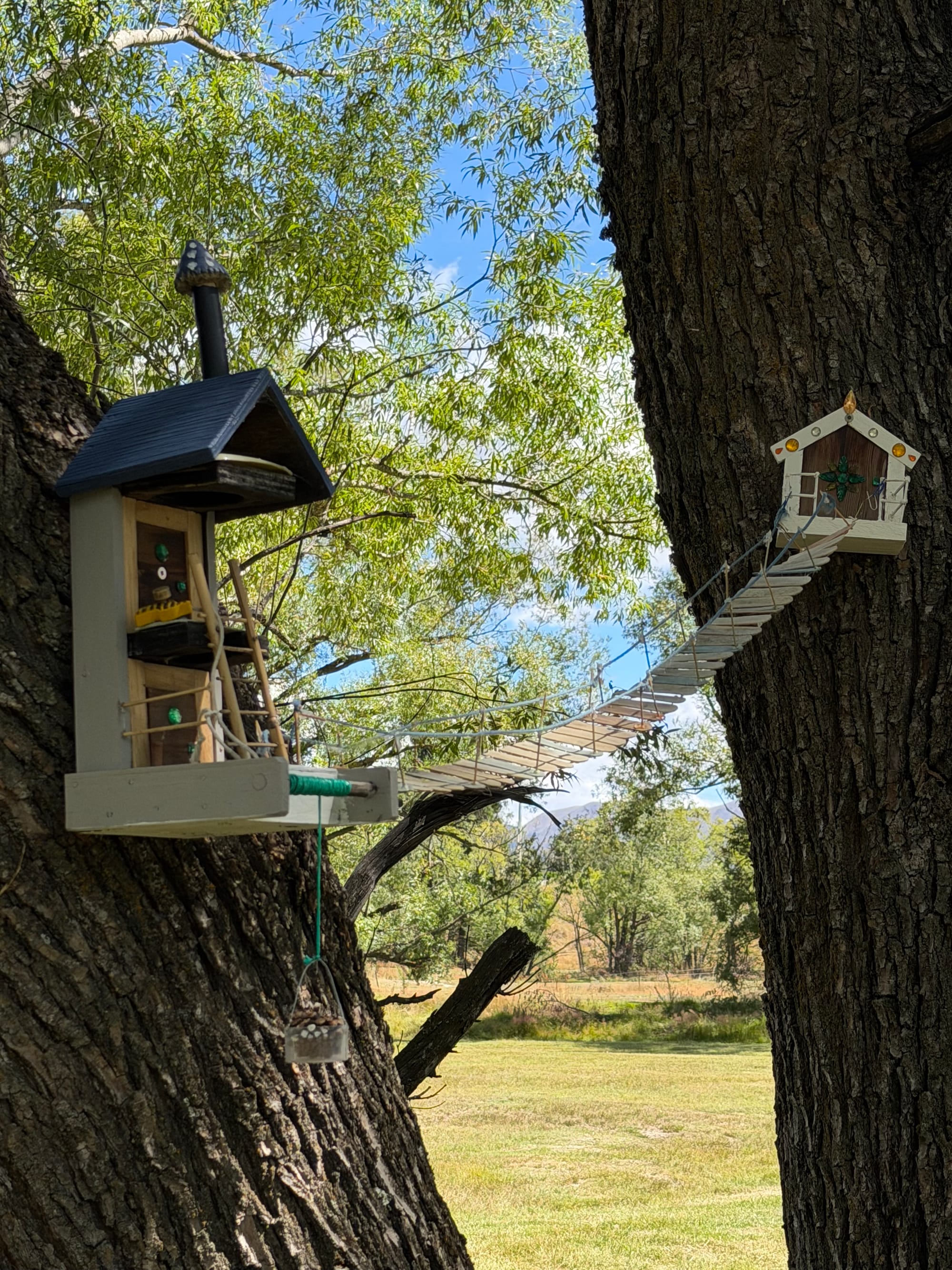
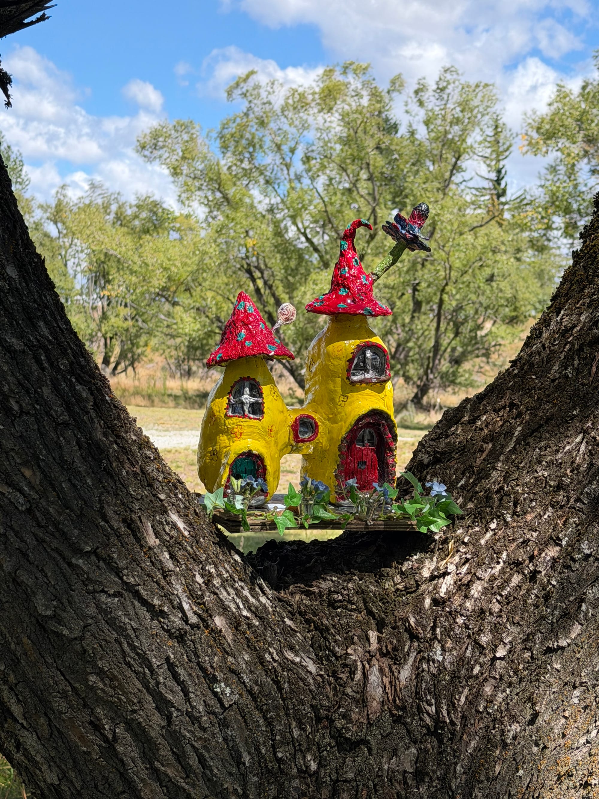
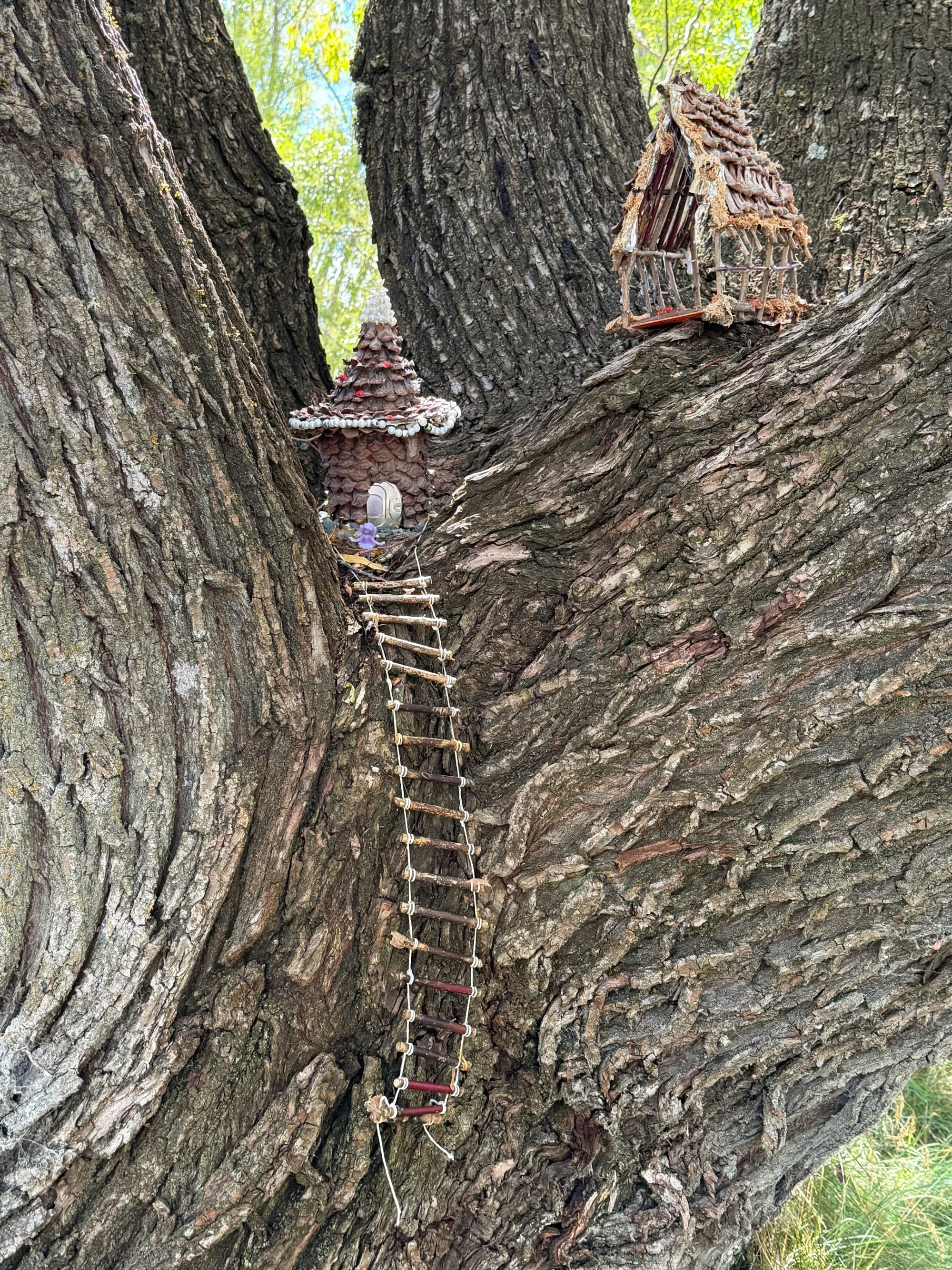
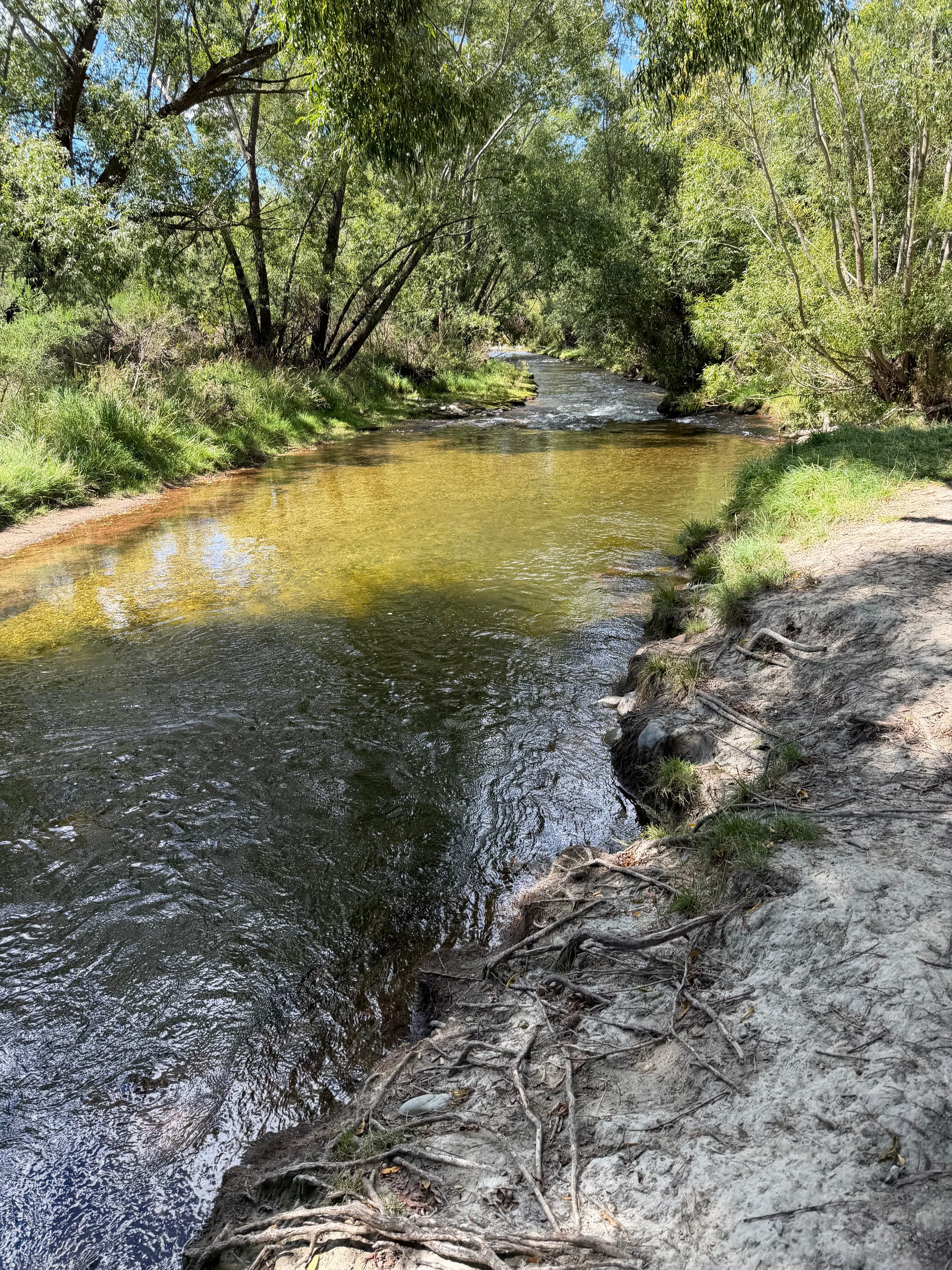
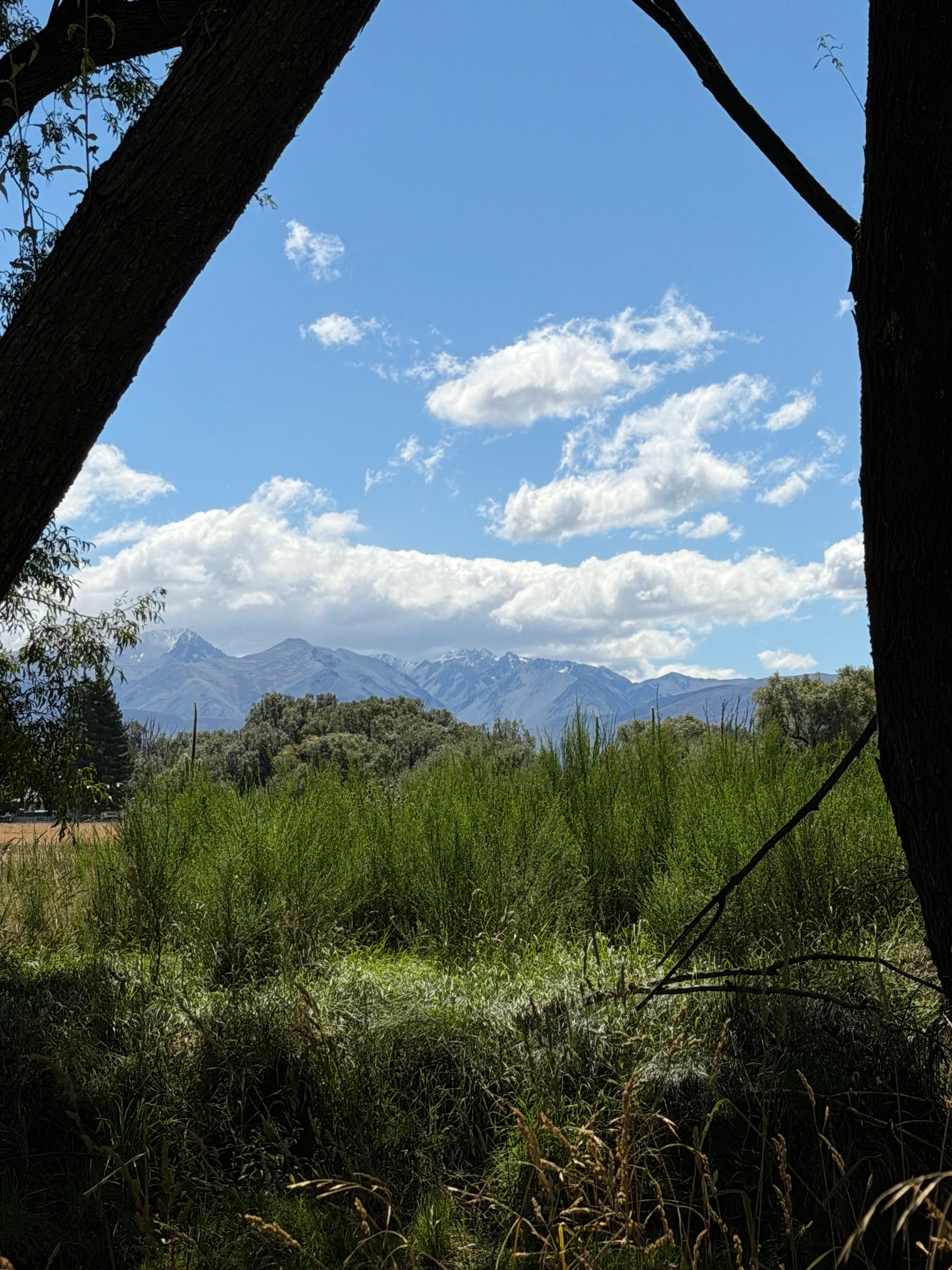
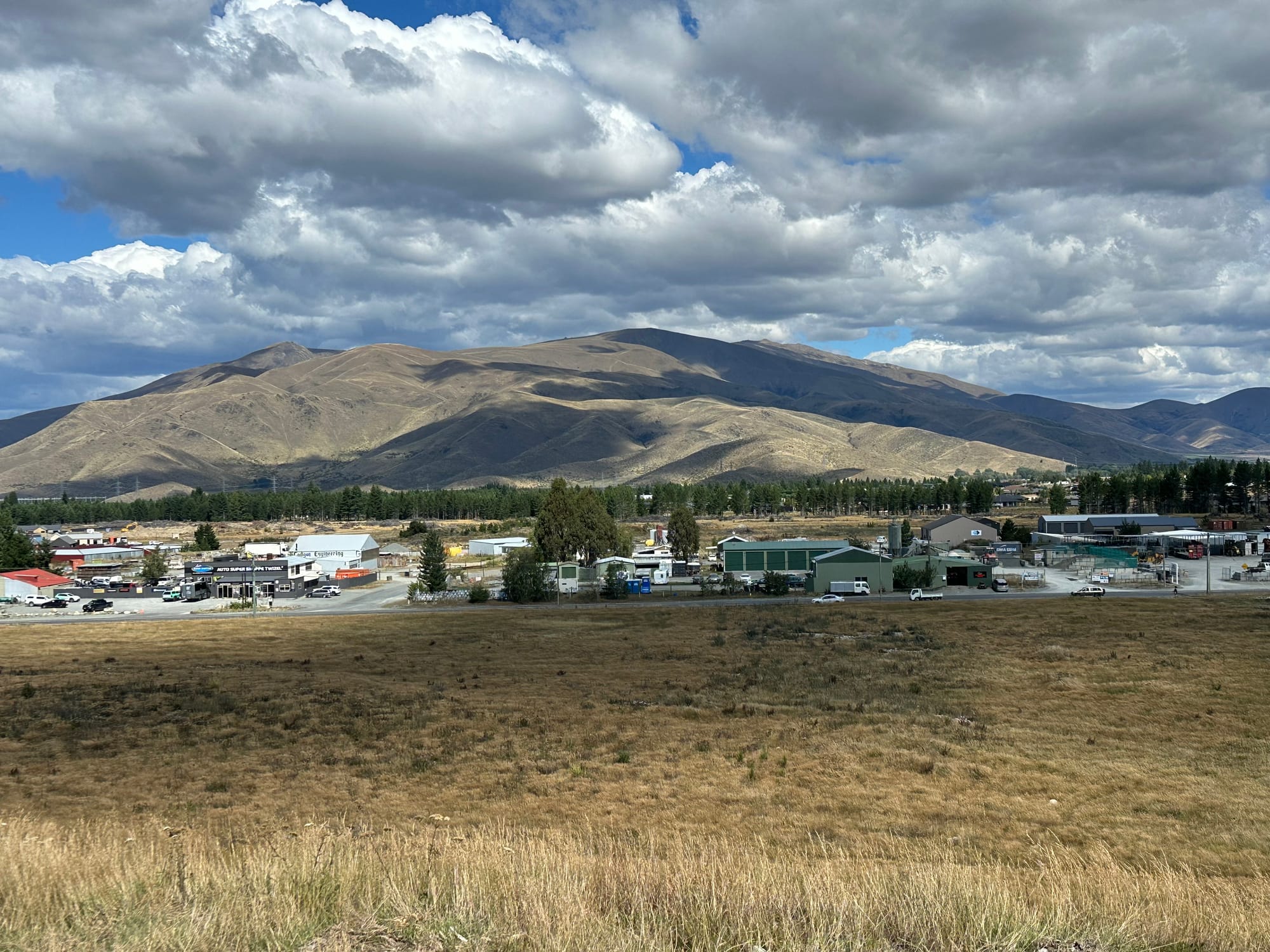
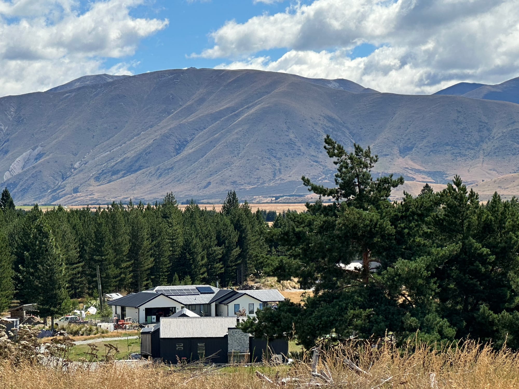
The Twizel Walkway
The next day we headed out to the see the Clay Cliffs, a place we passed by a few weeks ago and really wanted to see. These formations would not be out of place in the badlands anywhere in the world. Formed from sandstone and claystone in an ancient lake, then sculpted by erosion, they are quite spectacular. Managed by the local Iwi, there’s a small per vehicle honour based admission. The 2 photos below with Cathy, give an idea of the scale of these formations.
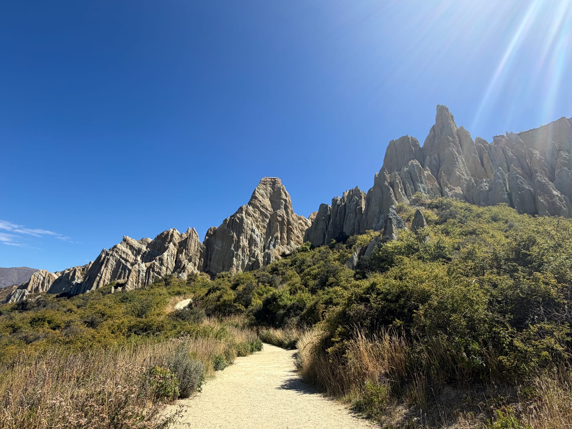
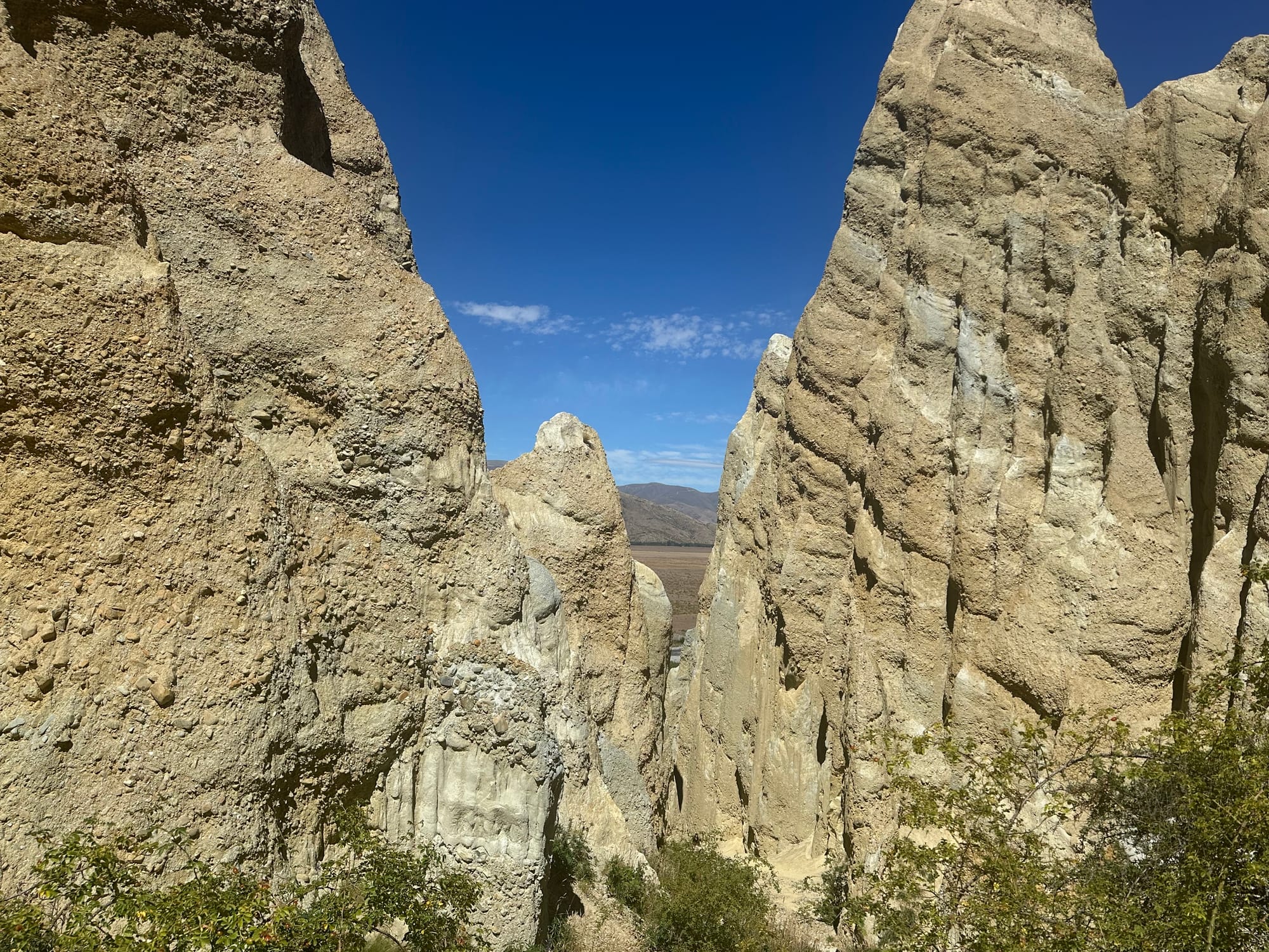
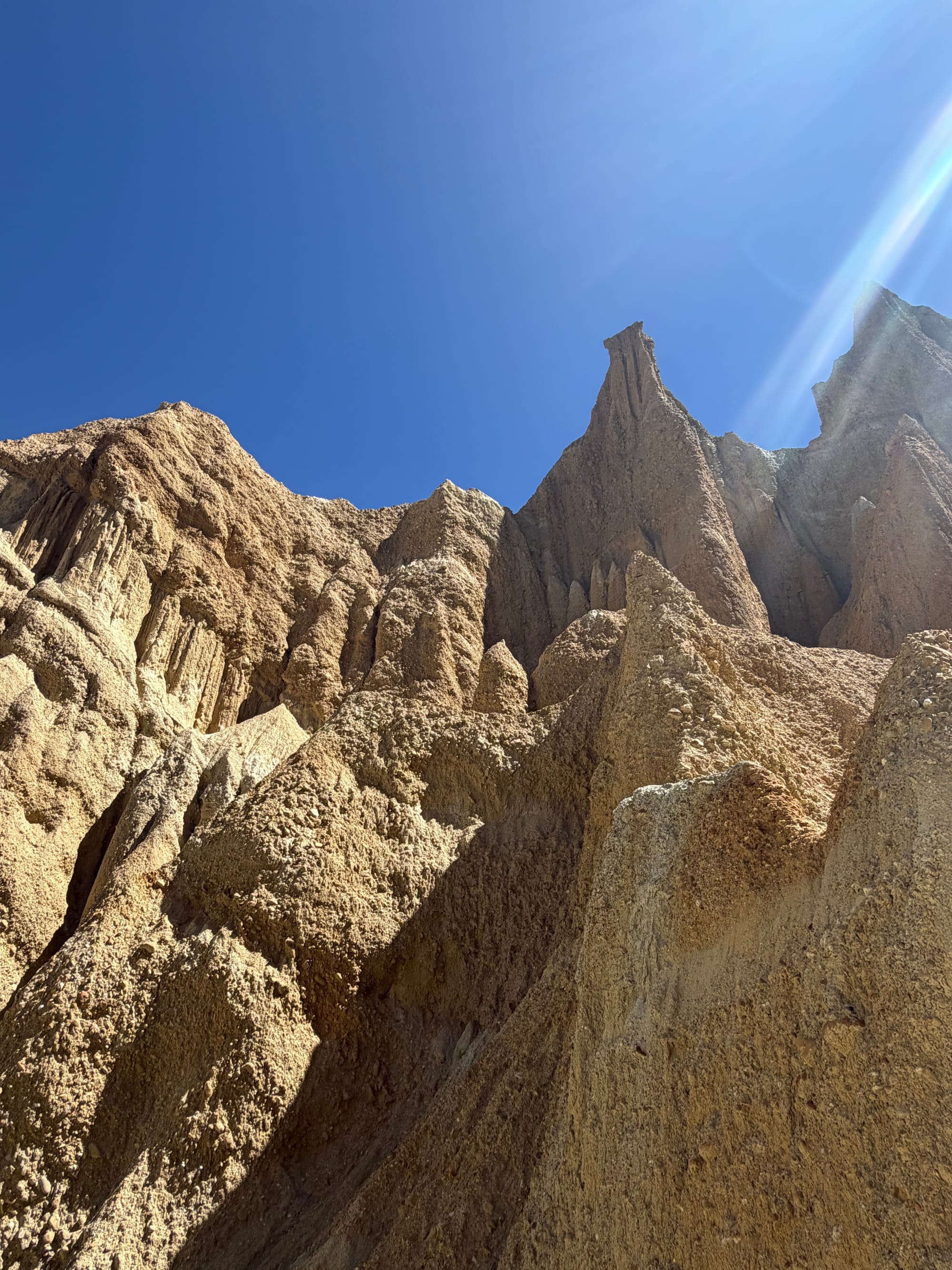
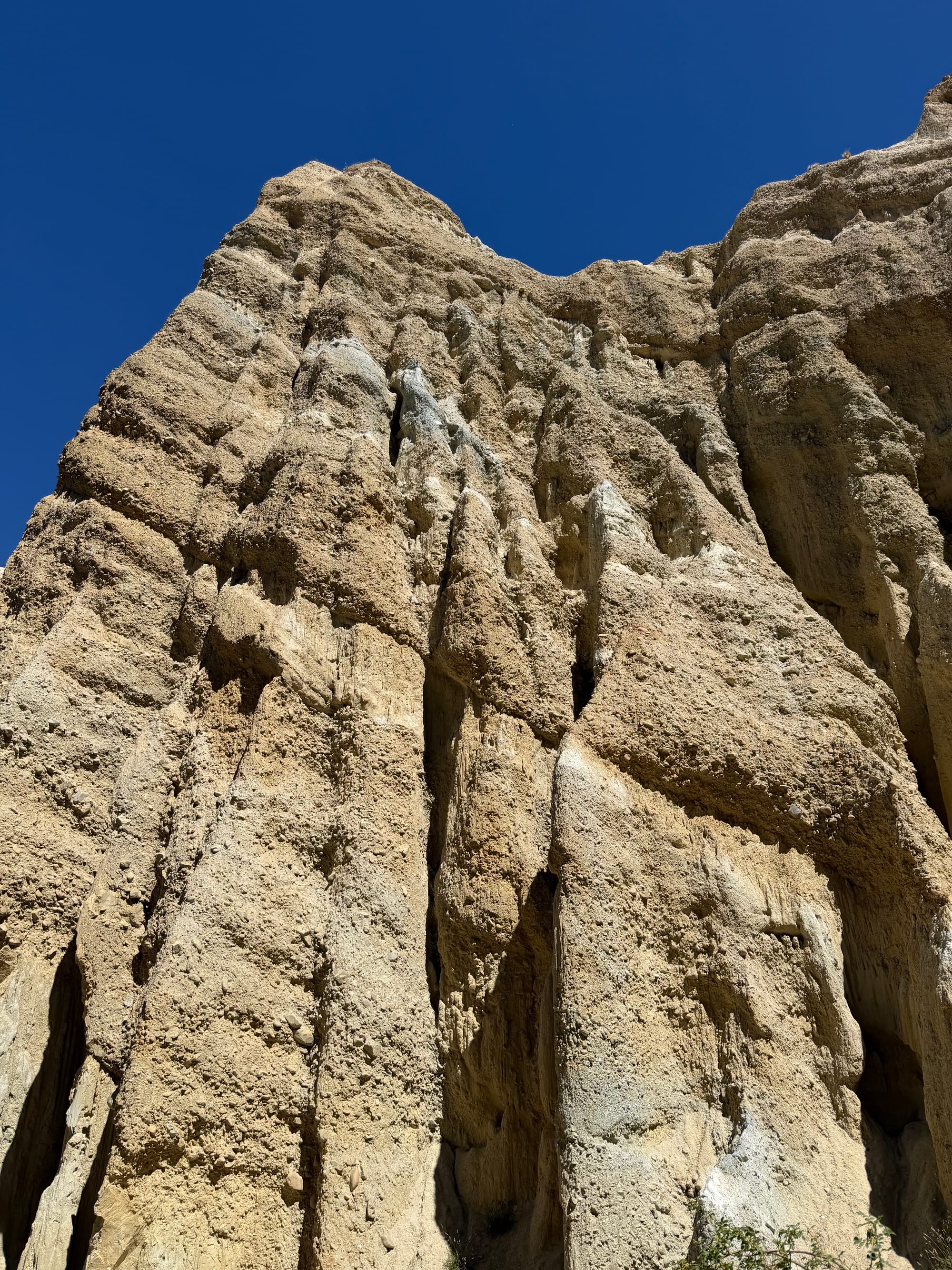
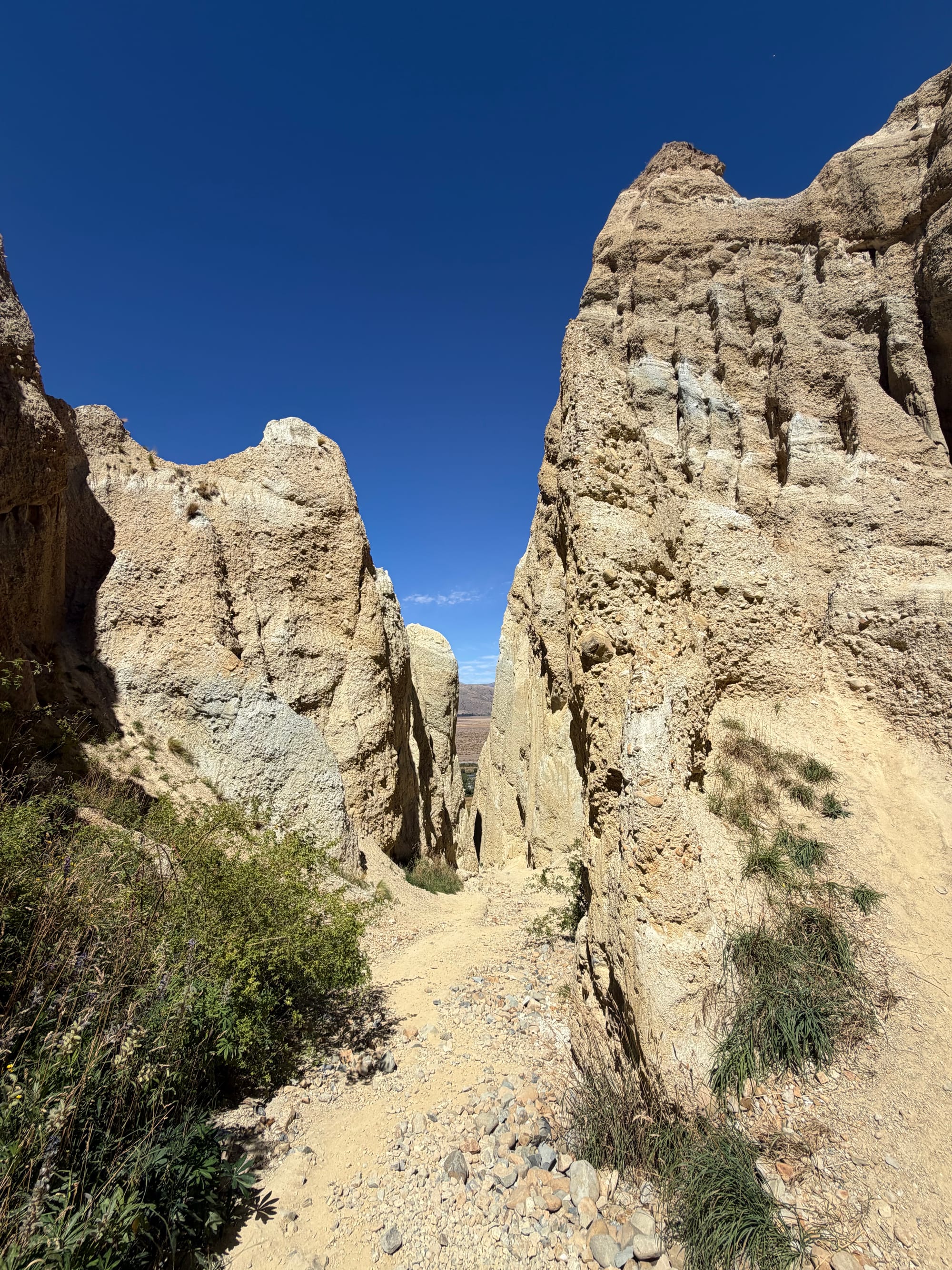
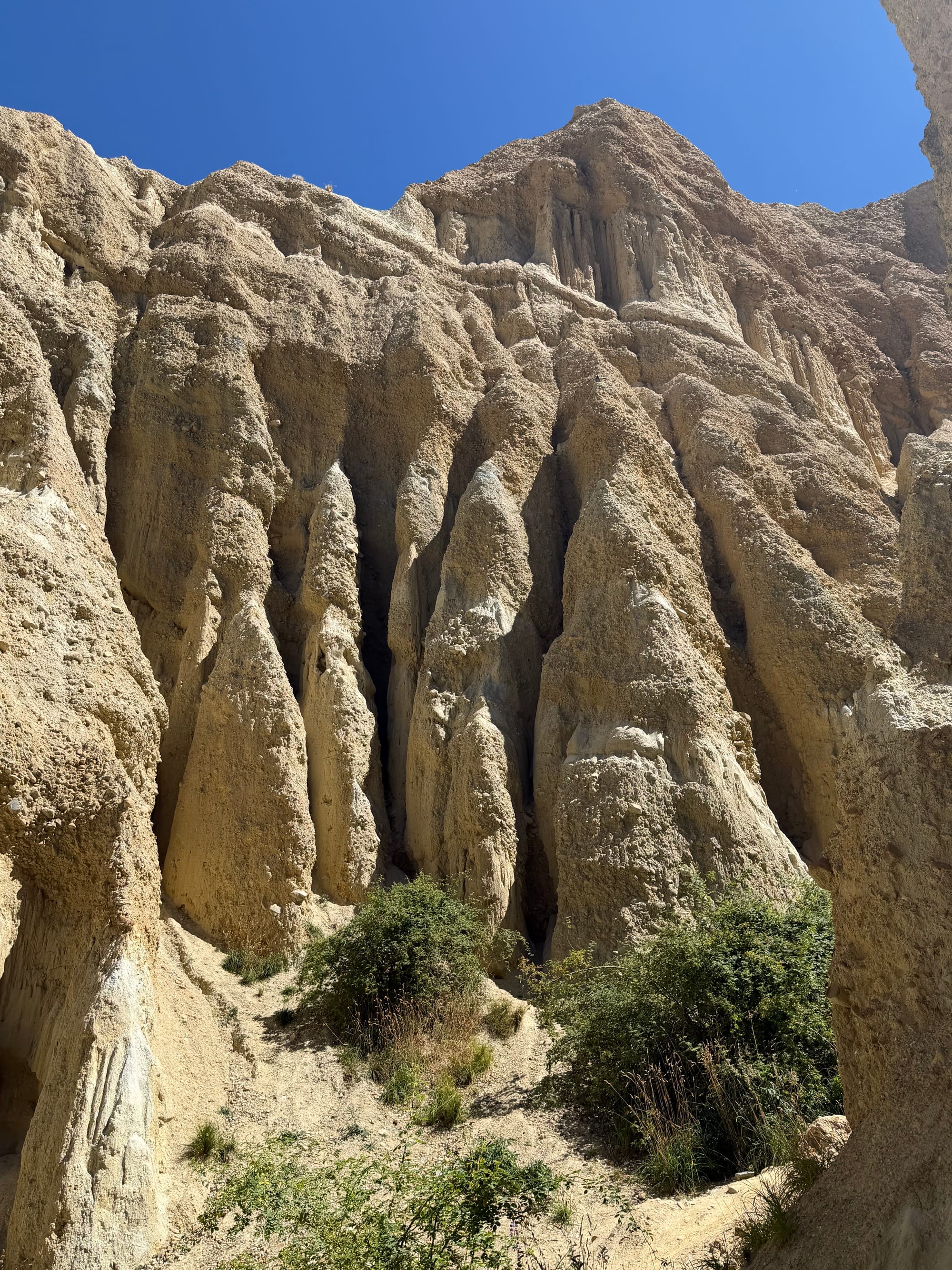
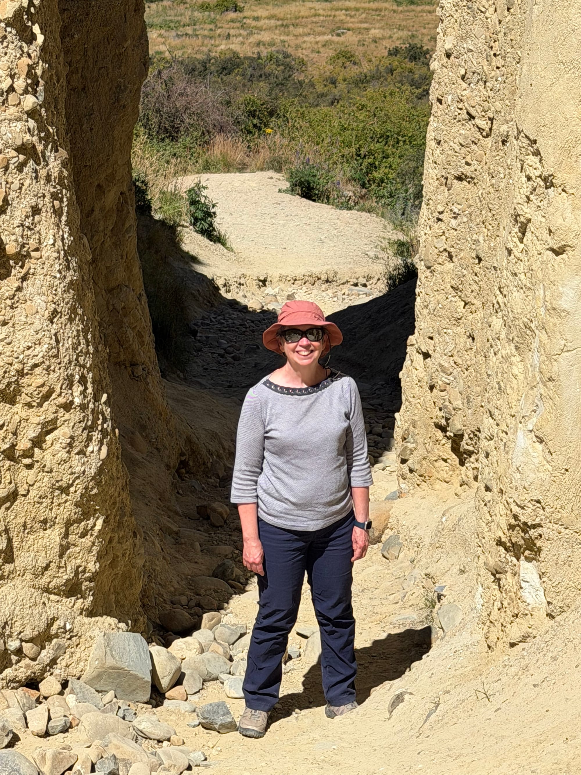
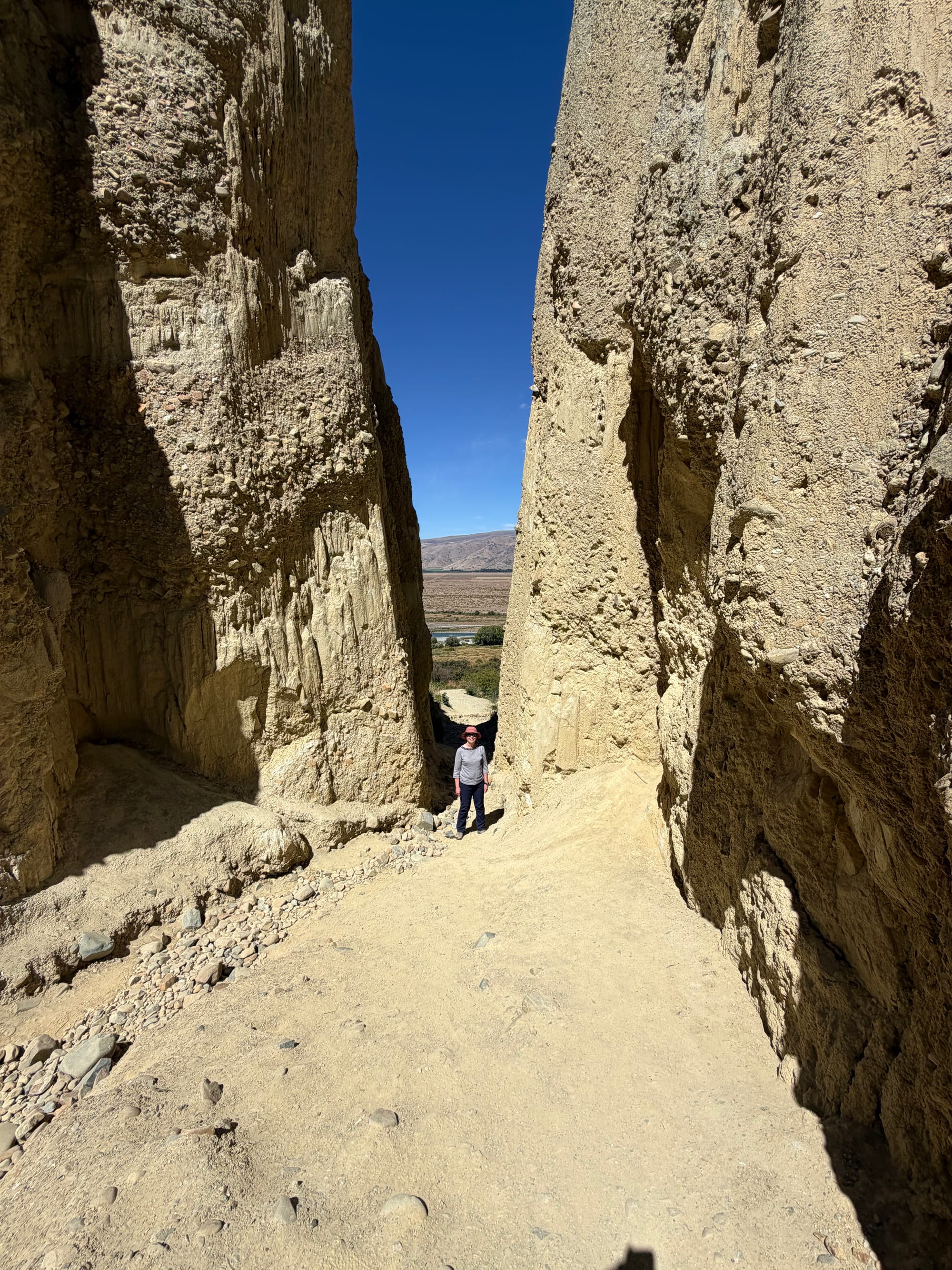
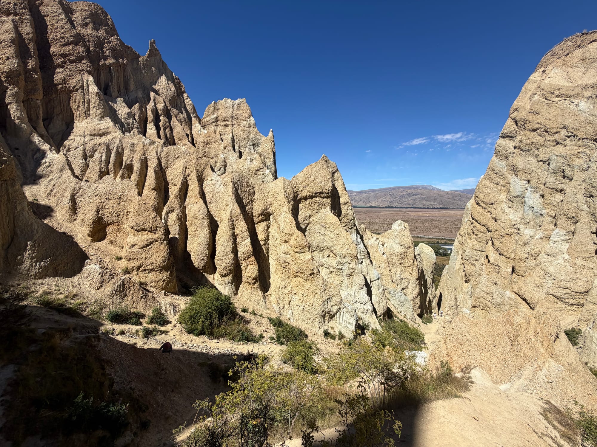
Clay Cliffs!
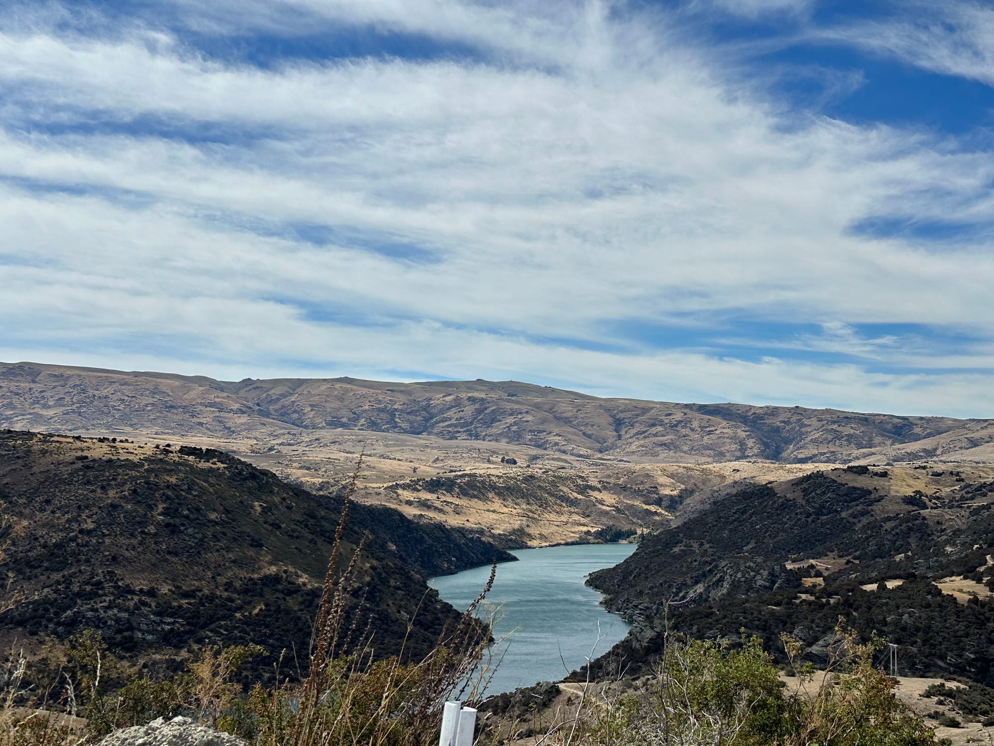
From there we went in search of a coffee at the Glider Cafe in Omarama. It was a bit later in the day so we didn’t see a glider landing but we did spy one circling around. Omarama is close to the hills and is was a beautiful sunny day so lots of thermals for the glider. Made a stop at Lake Benmore, another lake that is part of the NZ hydro scheme. Good fishing there too apparently…
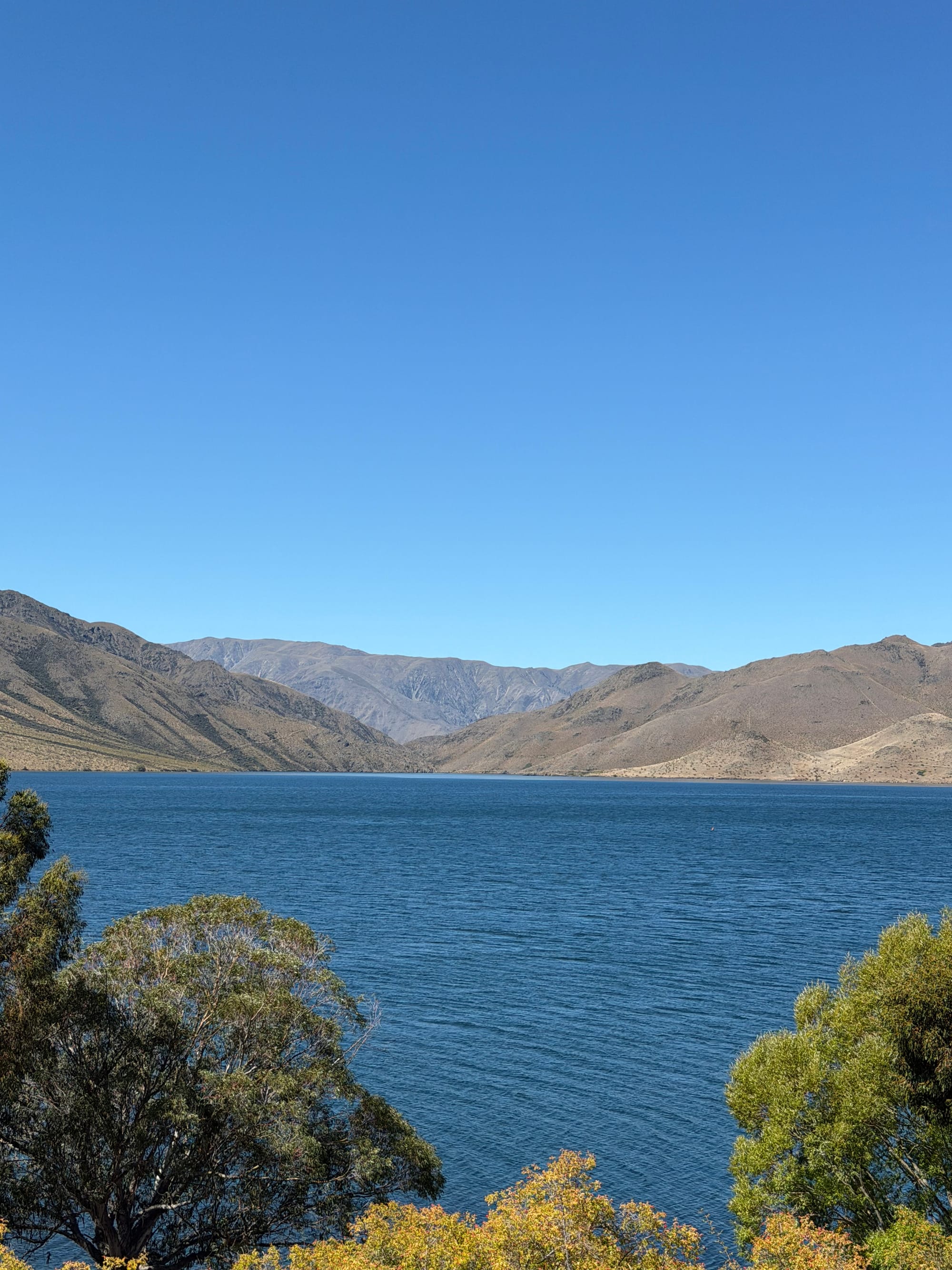
Lake Benmore
With so much to see and do in the area, we decided to pack in as much as we could on the clear days. So Sunday we headed back to Lake Tekapo for the Mt. John hike. The hike takes you up about 250 meters above lake level to the top of Mt. John where the University of Canterbury has an observatory. The whole area is noted for its dark sky so a good place for star gazing. The trail winds up through the trees and you’re rewarded at the top with a cafe. Yes you can drive up, but where’s the fun in that! The views of Lake Tekapo were worth the climb. We had a coffee and then continued on down the other side and along the lakeshore. Stopped for lunch, sitting on a log and just staring at the scenery. The total walk was around 8.5 km but with the stop for a coffee then another for lunch, no problems!
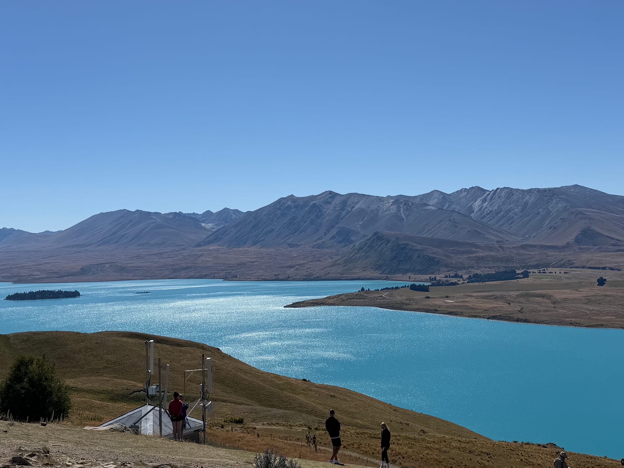
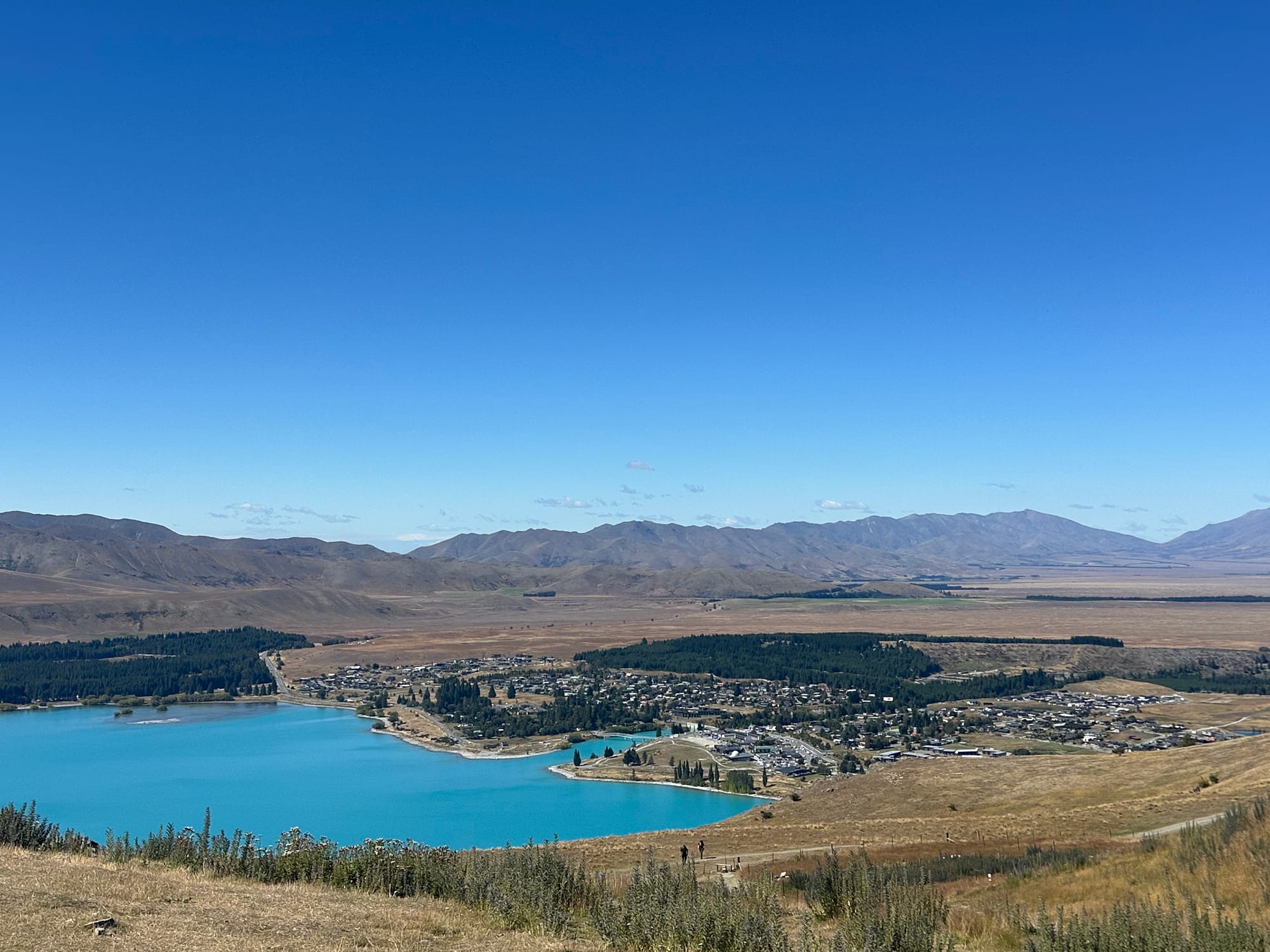
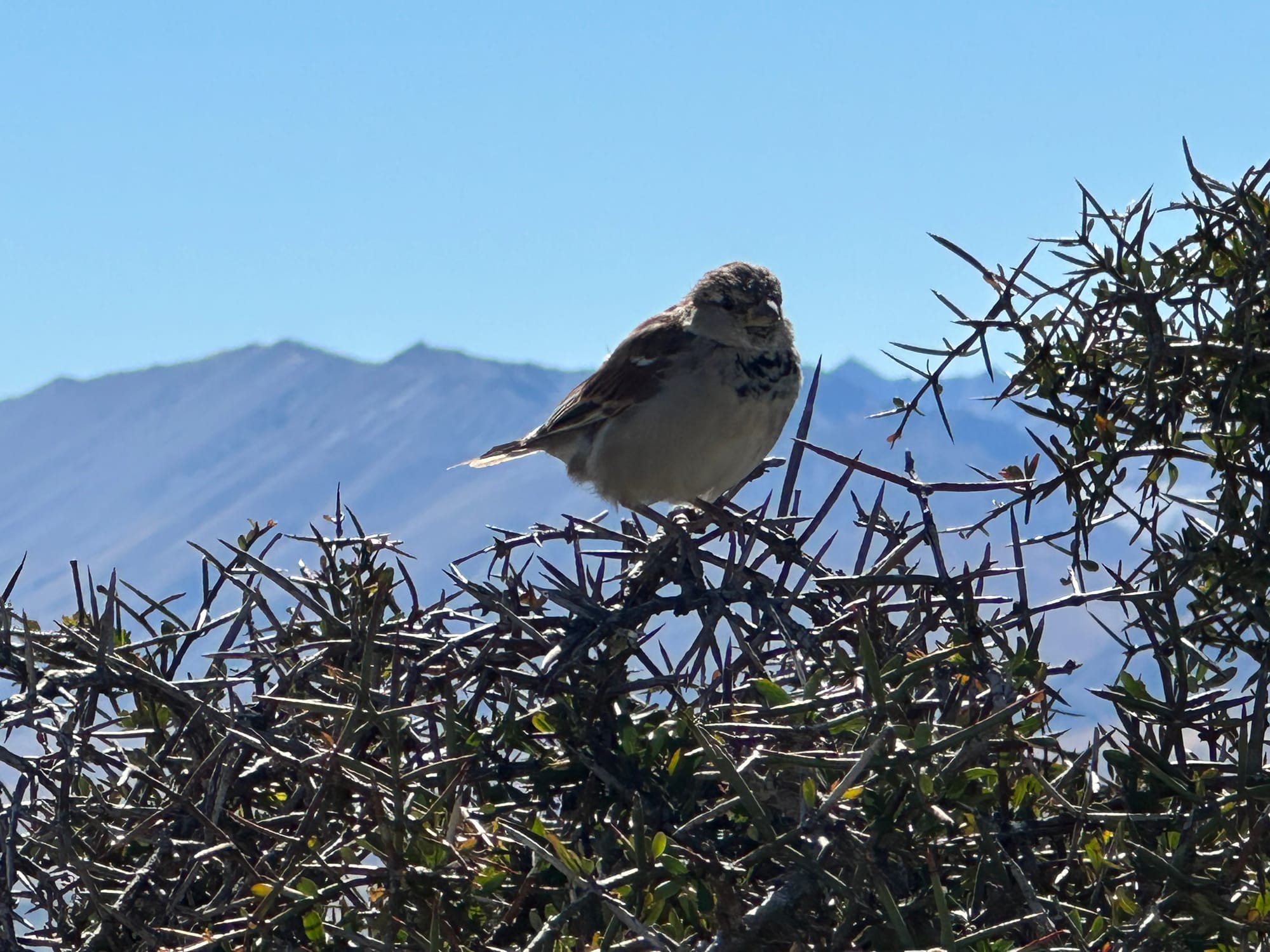
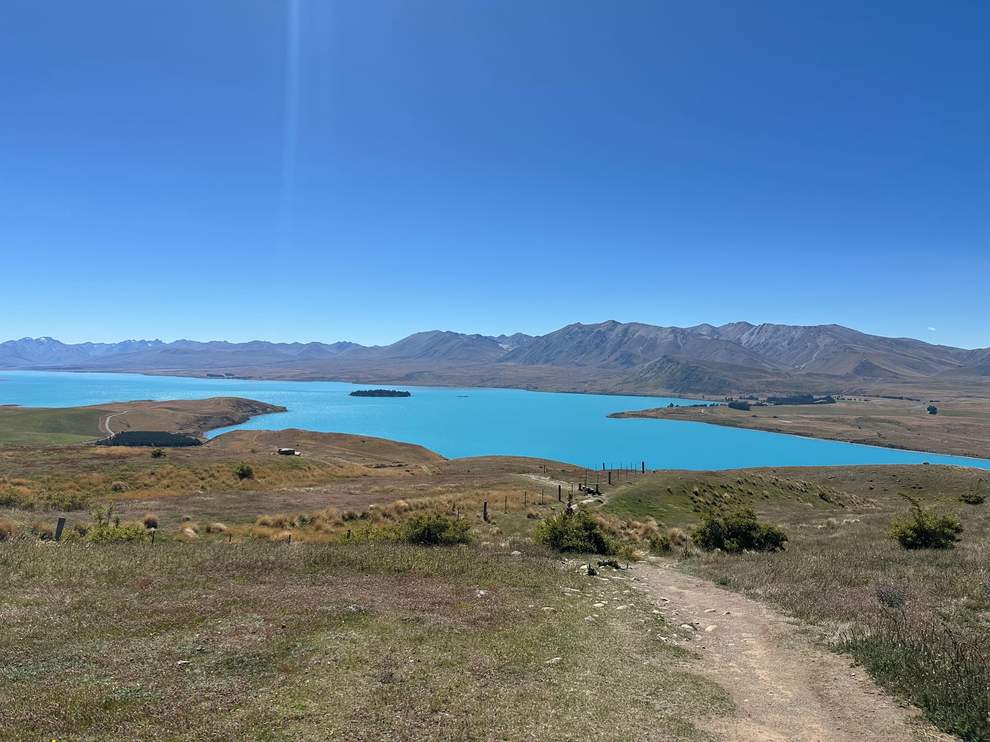
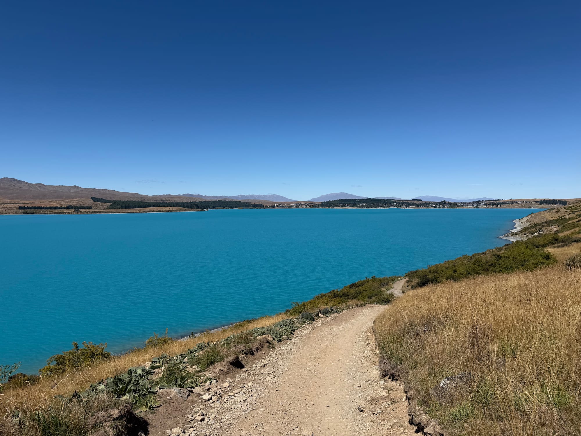
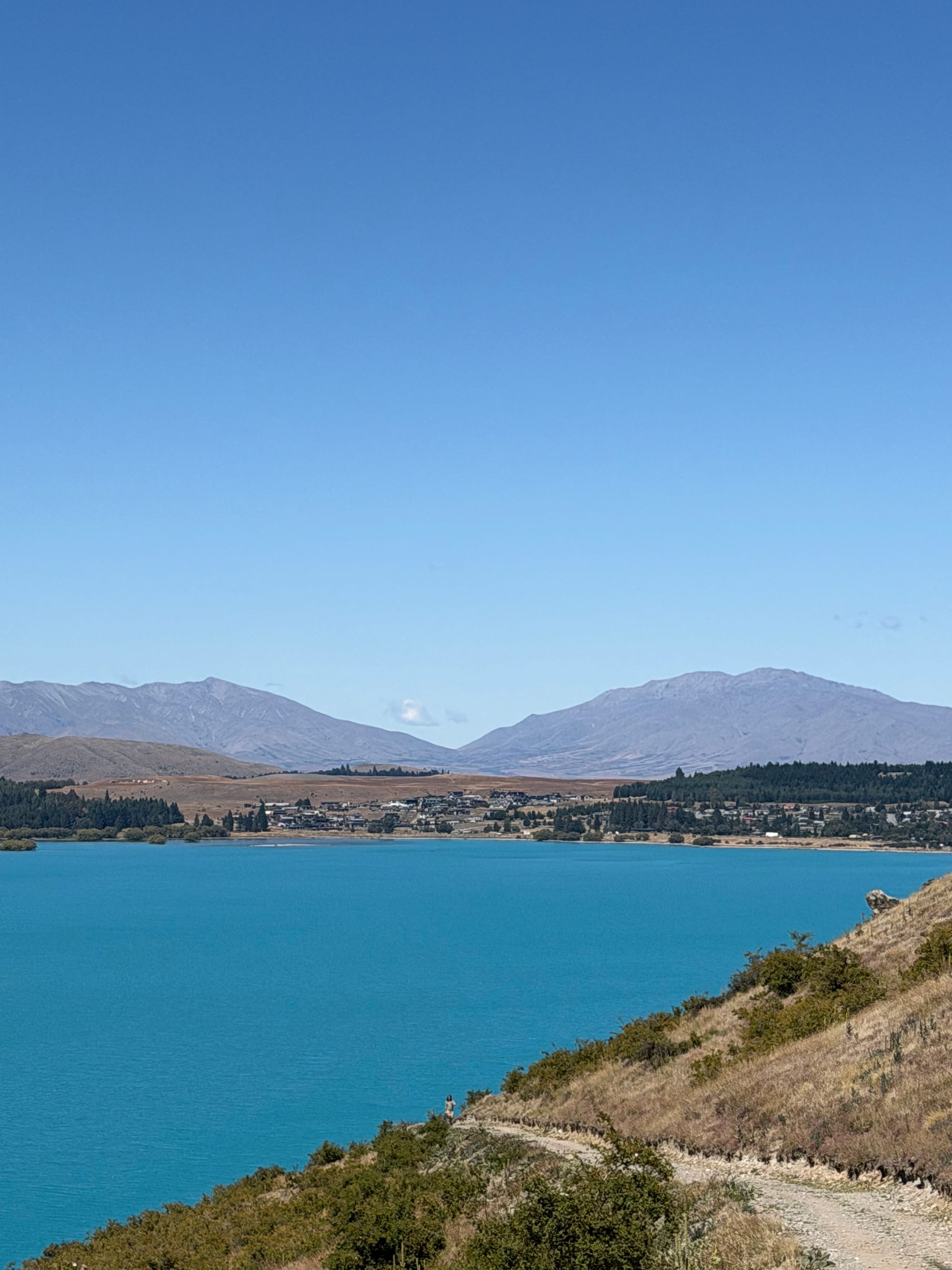
Mt. John and Lake Tekapo
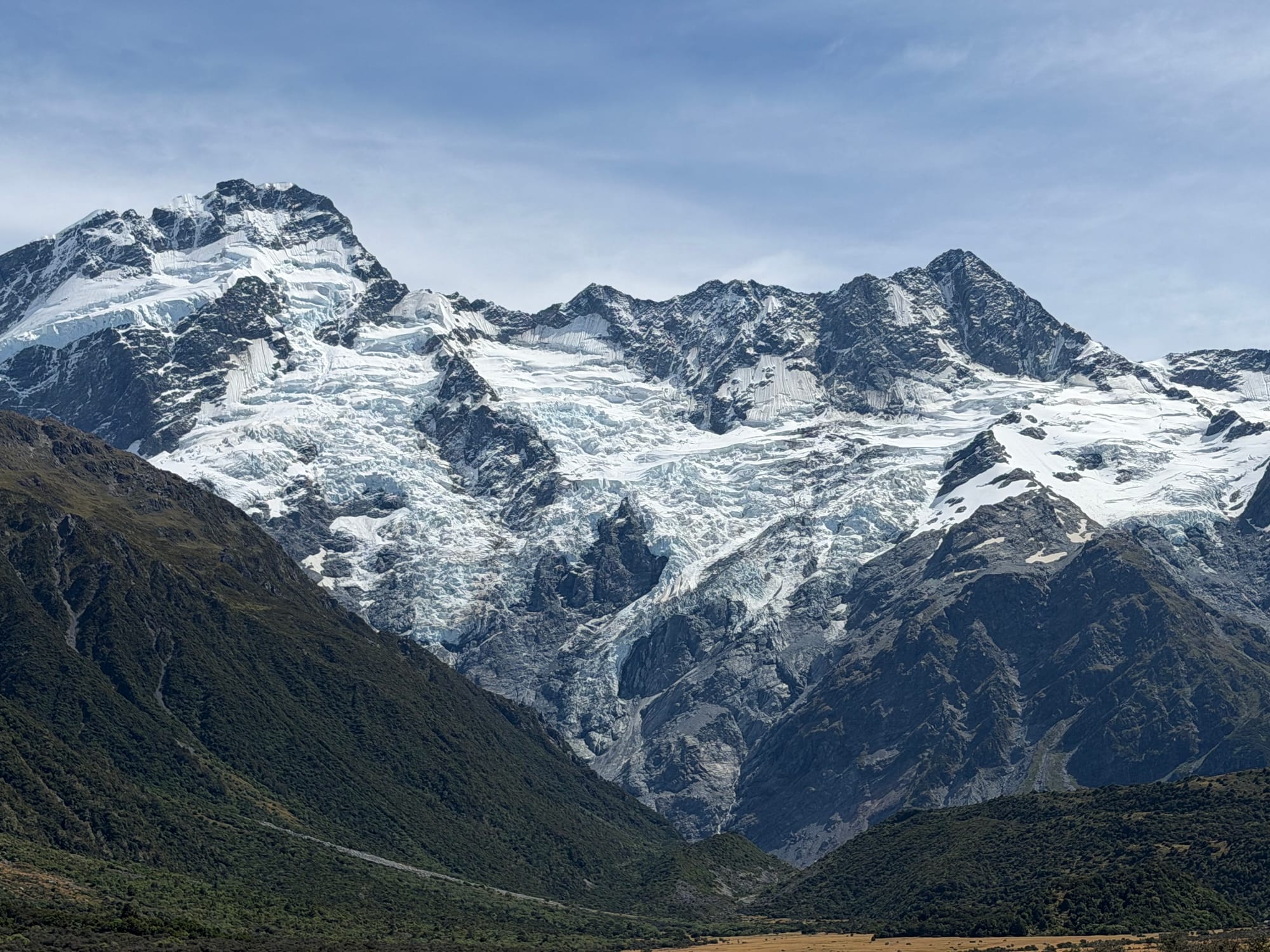
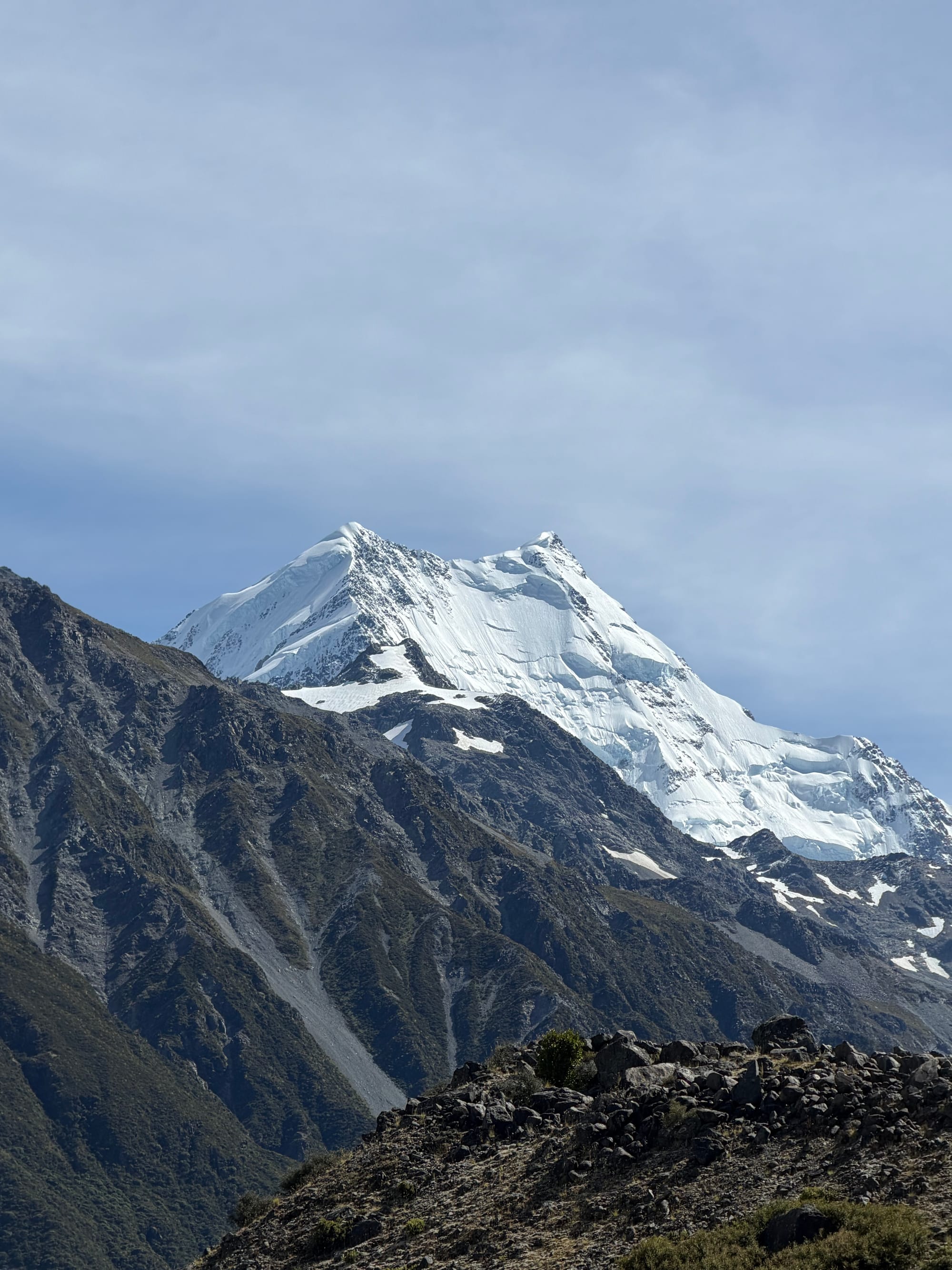
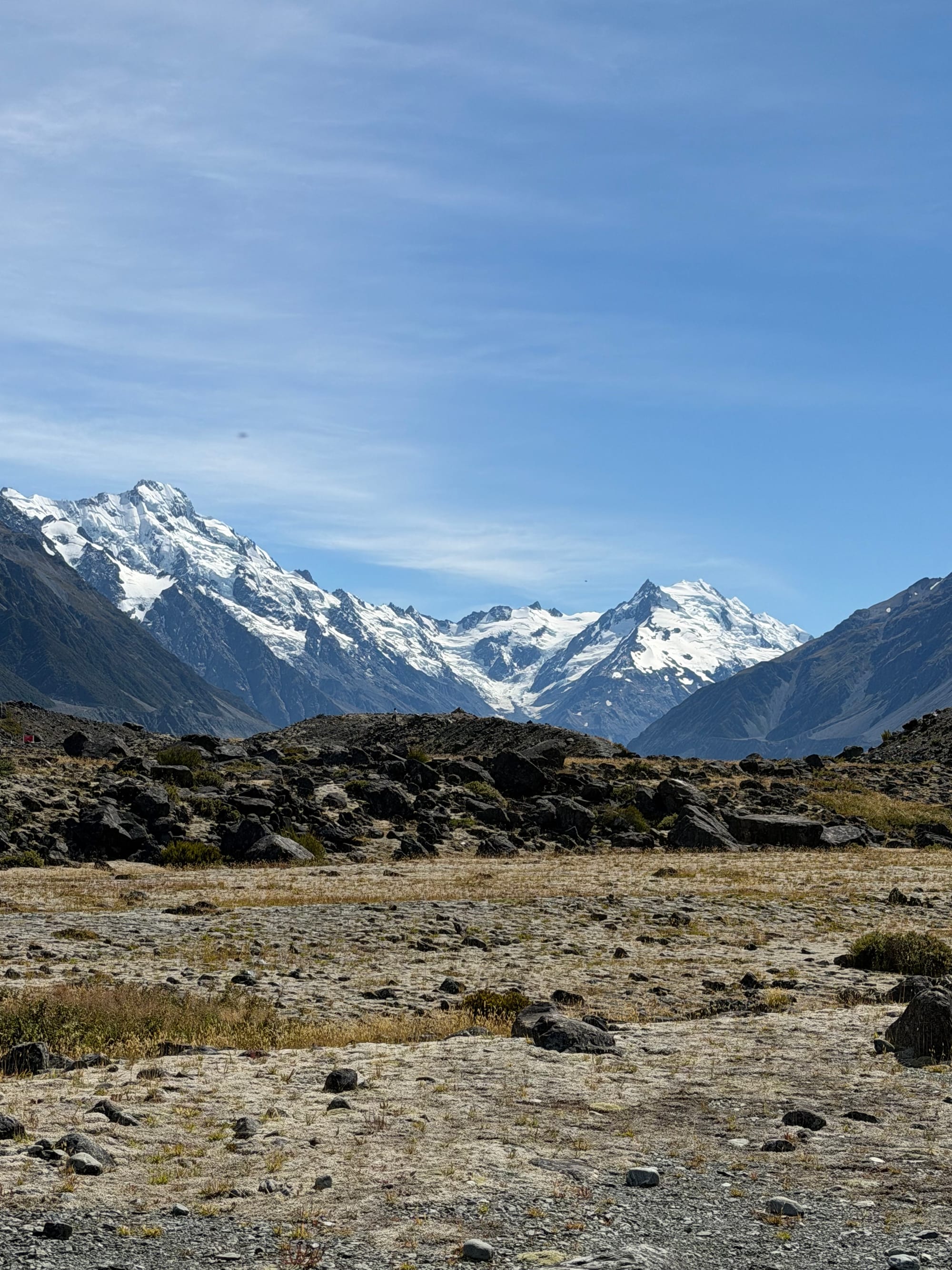
It was such a clear day when we left Lake Tekapo we decided to drive out to Mt Cook. The following day was forecast to be hazy and overcast, good for a hike but not so good for pictures. We did go the next day to do a couple of short walks to the Tasman Glacier lookout and the River walk that takes you to the mouth of the river that drains the melting Tasman glacier.
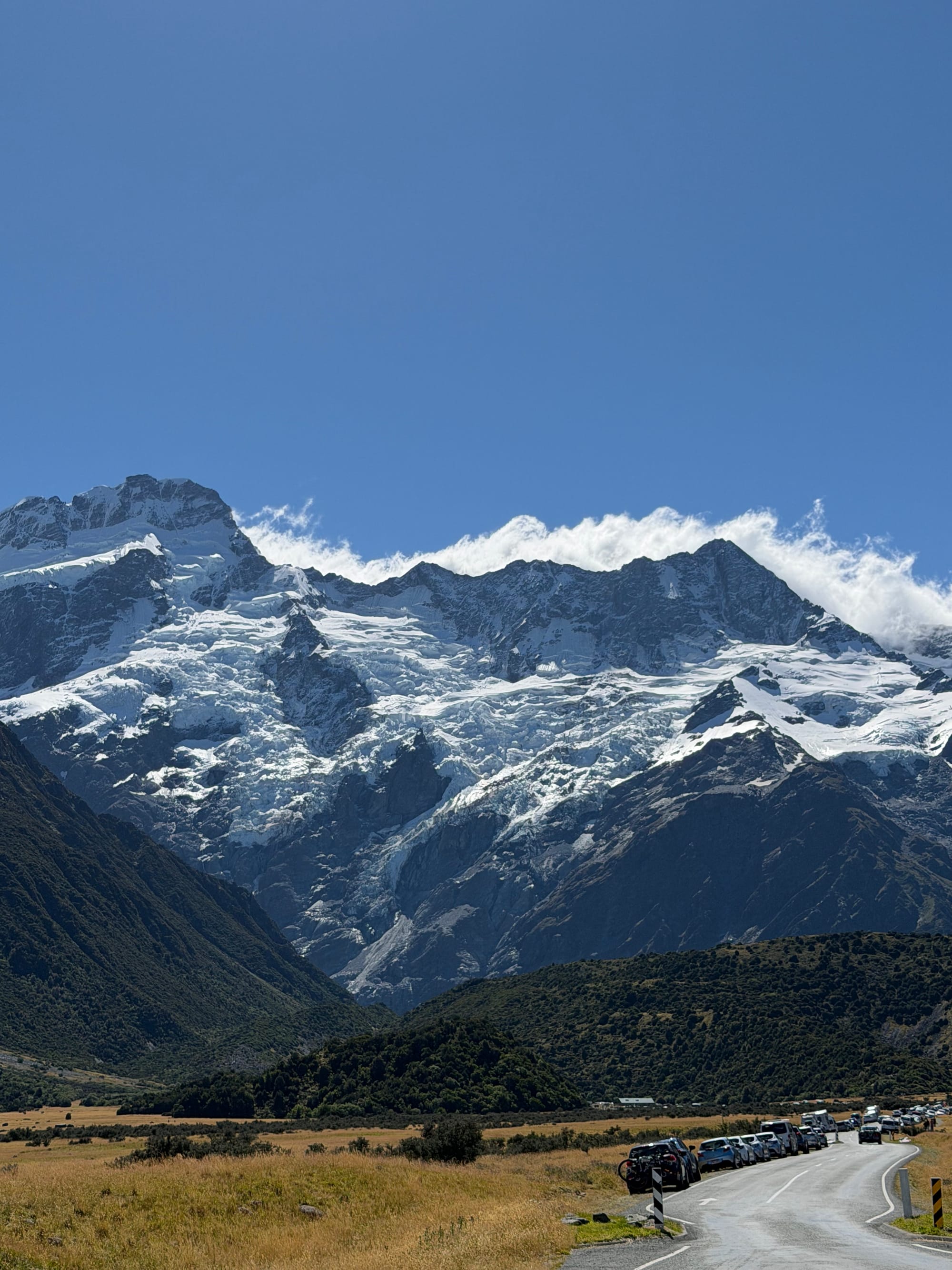
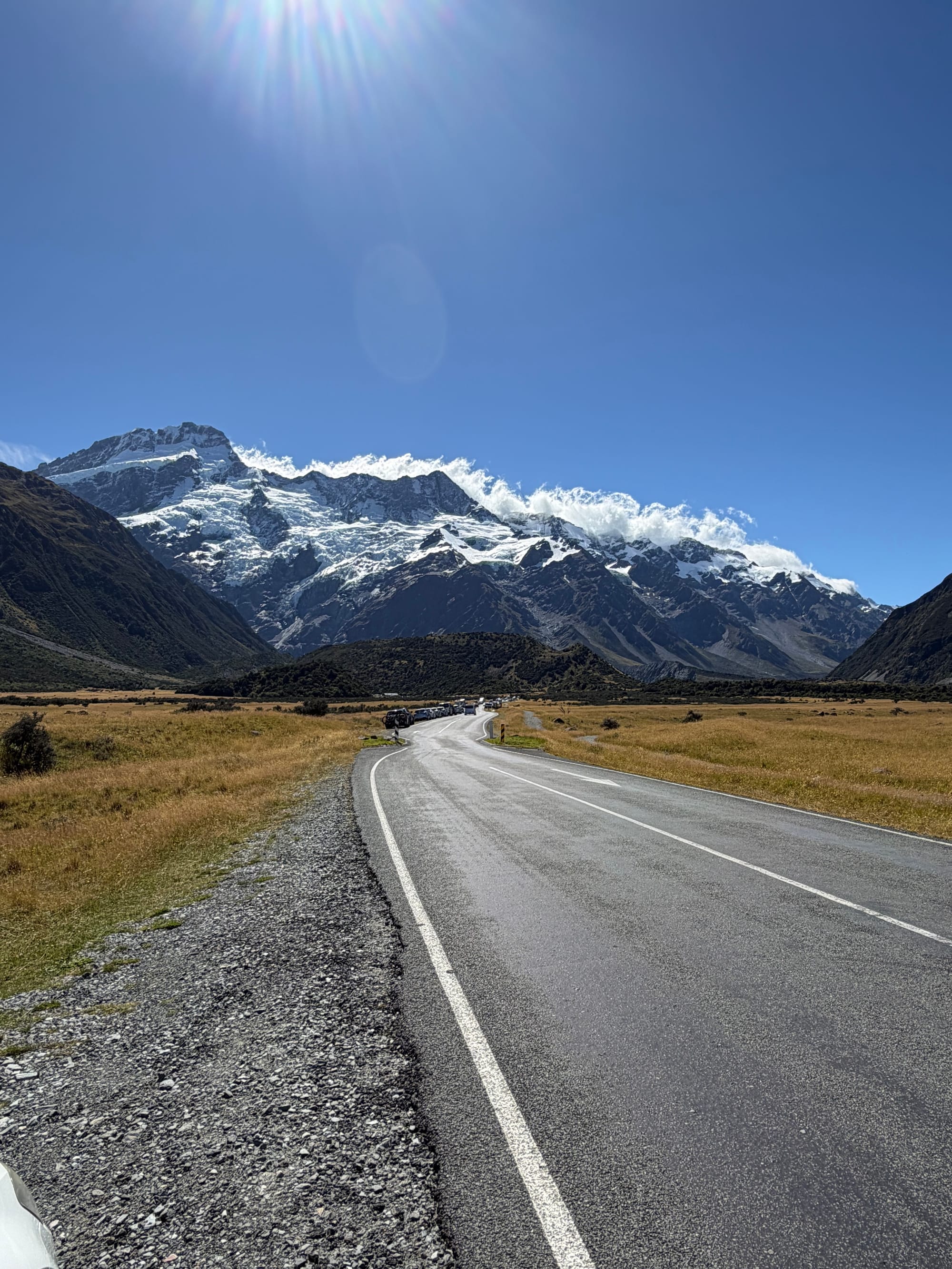
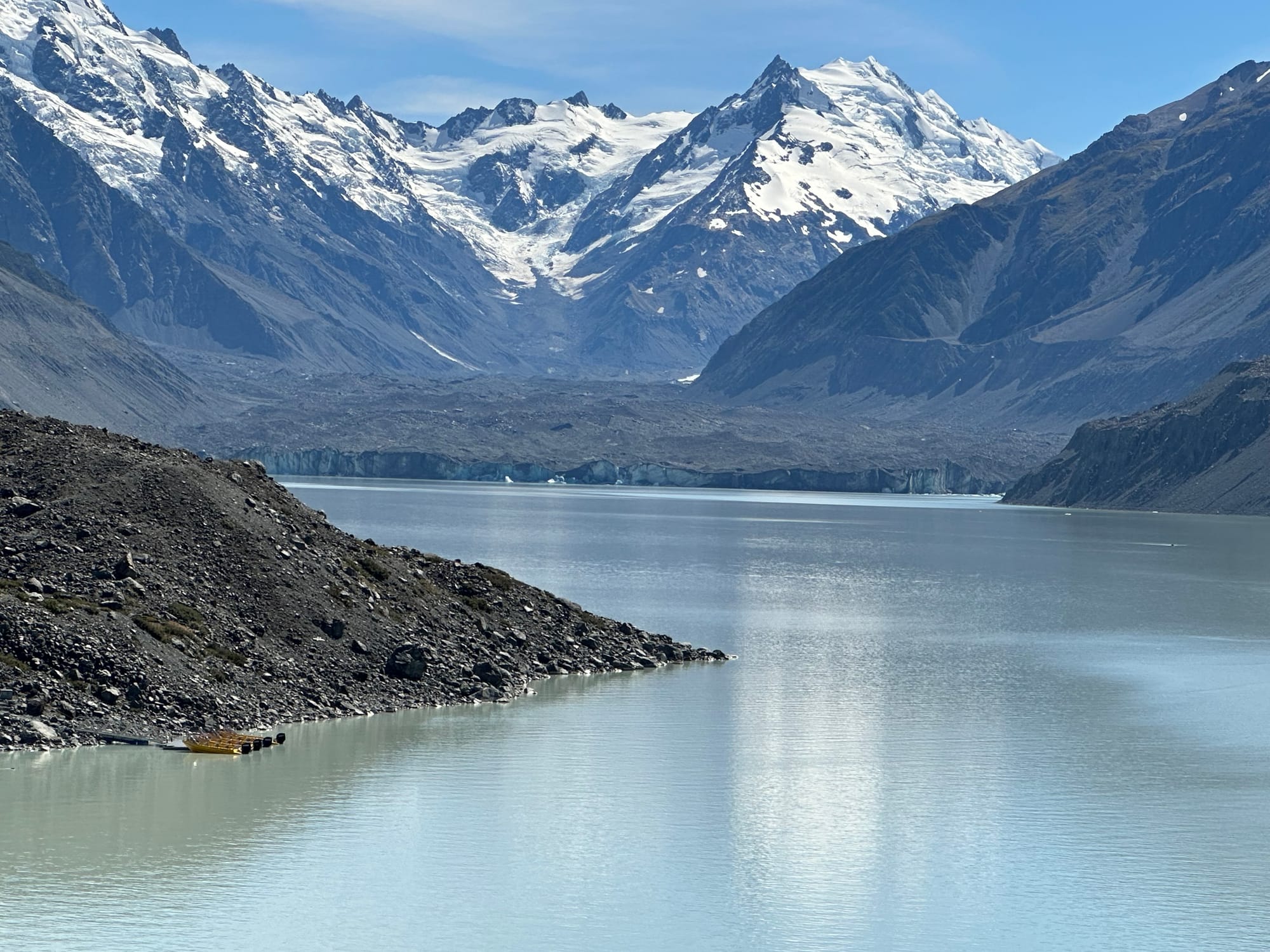

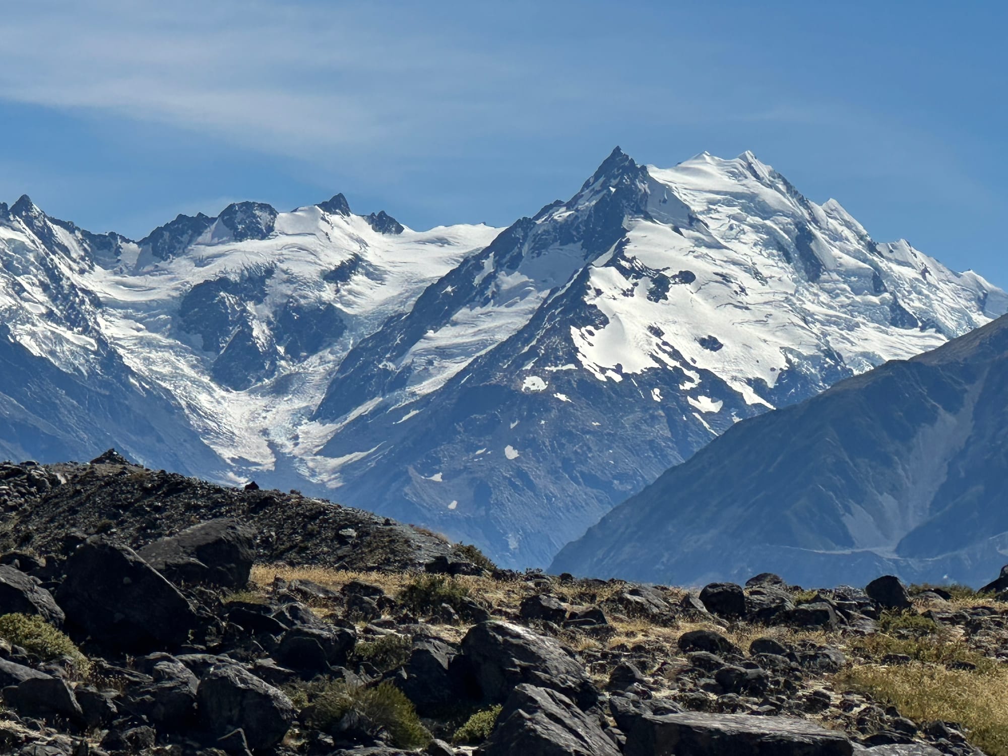
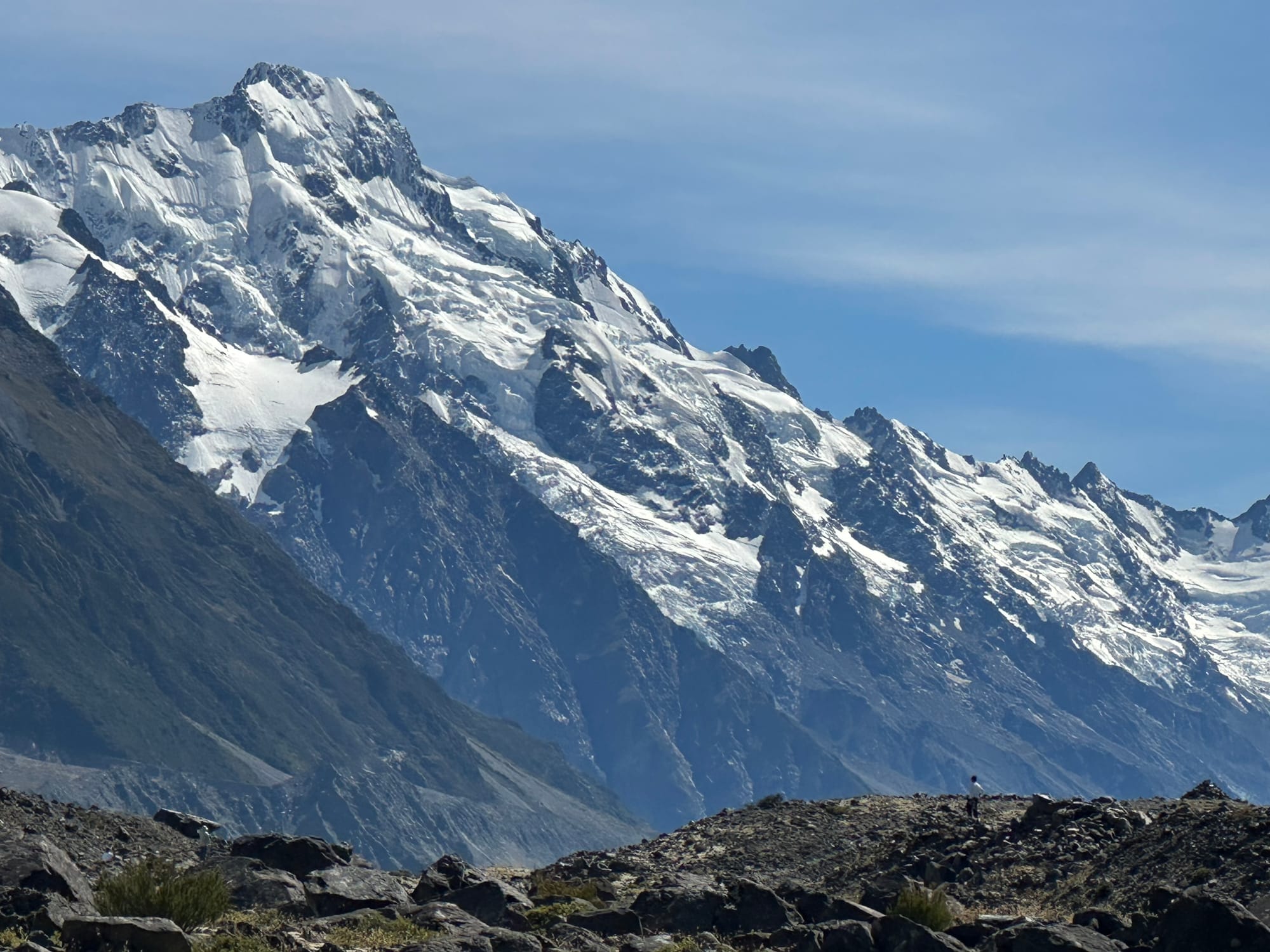
Mt. Cook and the Tasman Galcier lake
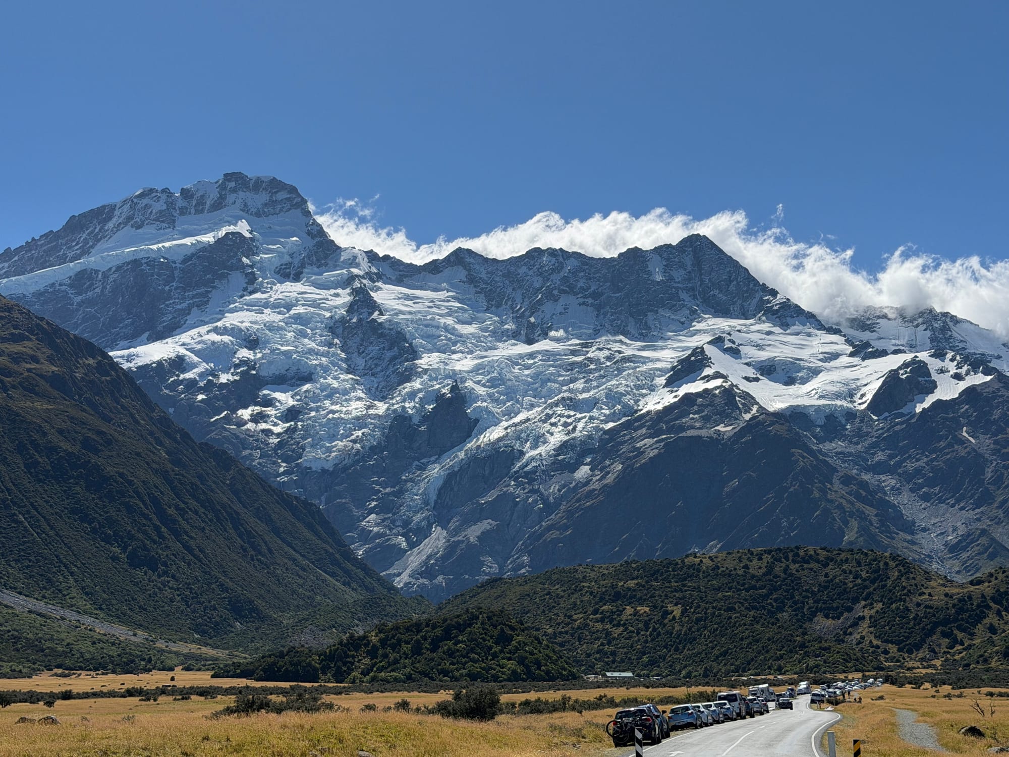
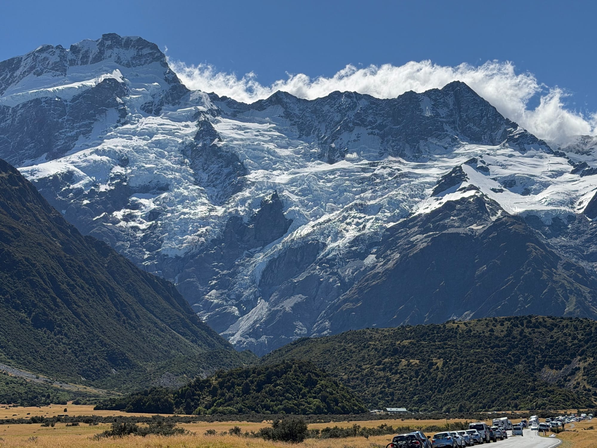
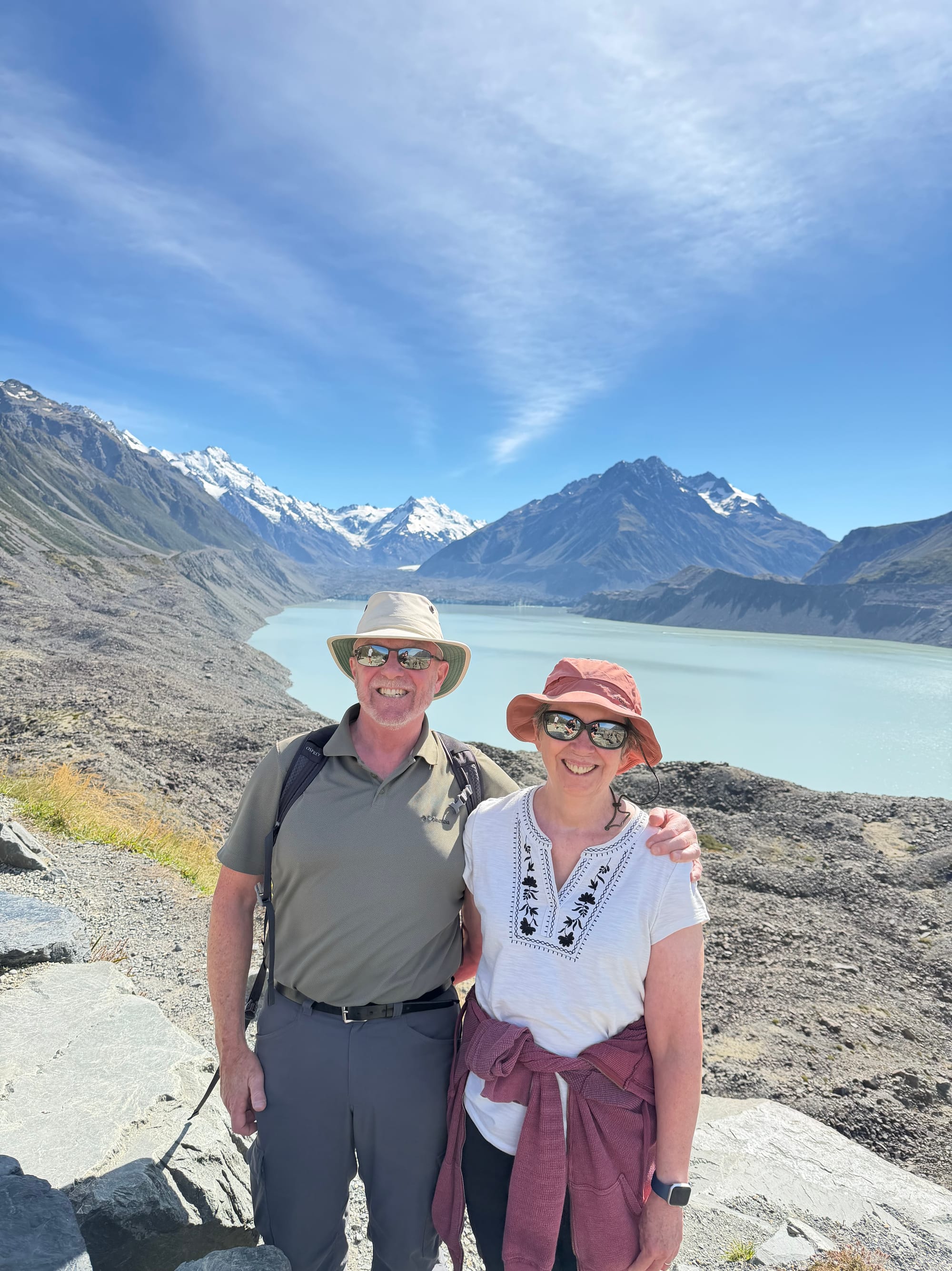
The village of Mt. Cook is pretty much for residents, no real services and a when we did find a cafe, parking was not to be found so we did the sensible thing and had lunch staring at a beautiful mountain!
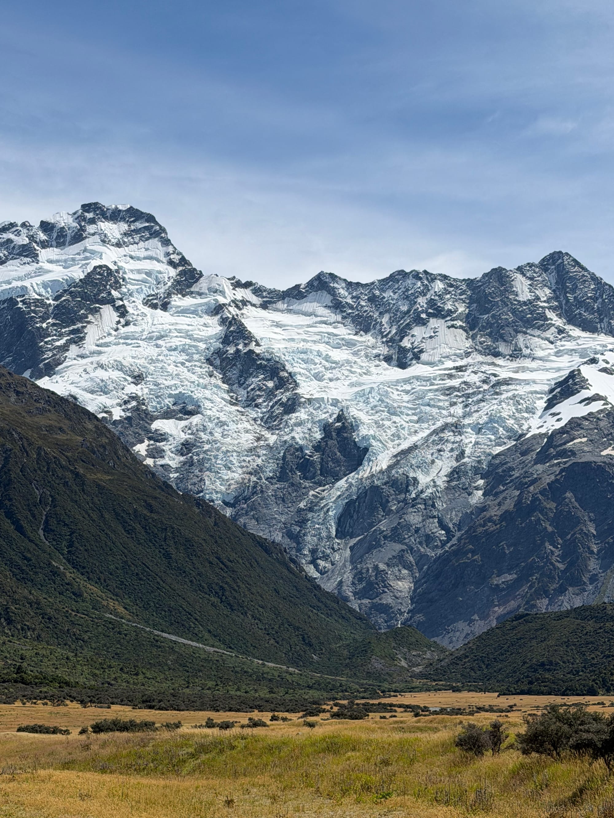
Lunchtime Views - Mt. Cook
After our time travelling around from Twizel, we spent the last day before leaving doing a few domestic chores and getting ready to return to Dunedin for a few days.
When we left Twizel, we took a different route back to Dunedin to see as much of Central and South Otago as possible. The driving is easy here, as long as you get used to twisty winding roads, and have a bit of patience (I good with the twisty windy bits, still working the patience part). The scenery is magical, every corner your turn, every hill you crest, you’re presented with more breathtaking views. When we next come to NZ, I’m pretty sure we will start our trip on the South Island rather than in Auckland. Still lots to explore here!
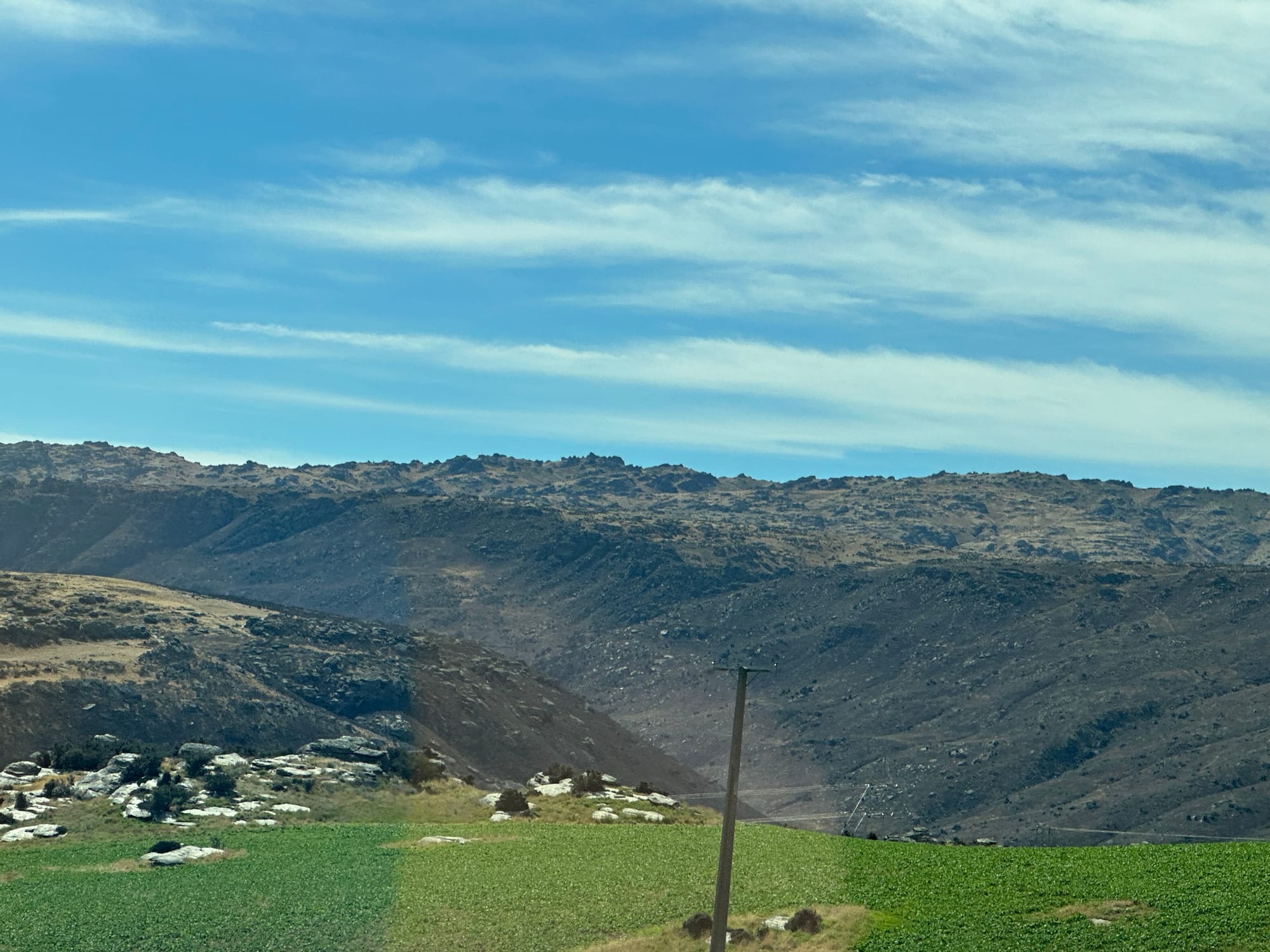
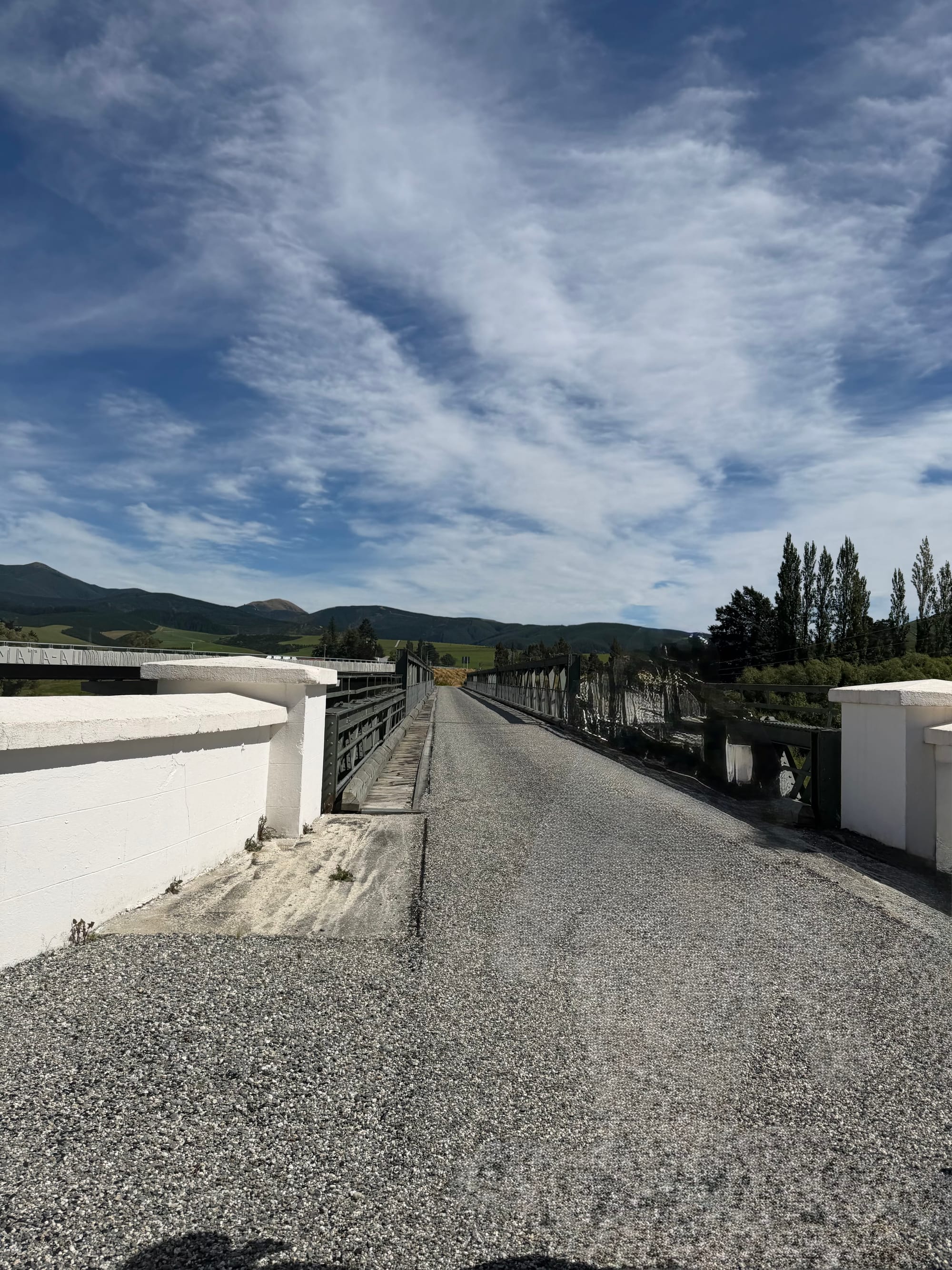
The drive from Twizel via Alexandra with a Stop in Lawernce for Lunch at the Old Bridge
Travelling plans, like sailing plans, are written in sand at low tide. A slight change in plans for our remaining time in Dunedin as our friends Tony and Helen, whose house we’re staying in, were unable to make the trip south from Auckland. Their son Jono, with partner Kate, and daughter Matilda are staying at their Dunedin house and are once again hosting us for a few days (they are an absolutely wonderful family, and a real joy to be around). We did decide to shorten our remaining time in Dunedin and head north a few days earlier, taking shorter drives and exploring more of the South Island on the way.